
What is recorded here
Situated in level pasture, KE088-010002- occupies a roughly rectangular area which is delimited by modern field boundaries. Within this is an oval-shaped enclosure, an earthwork complex and a number of house sites. The enclosure contains a leacht and a gable-shrine, a holed stone, and numerous uninscribed…
Read the whole record
From the National Monuments Service (Archaeological Survey of Ireland) record KE088-010003
Places near here
Photo credits
- Maker not stated on source page, www.gettyimages.fi
- Maker not stated on source page, nexusnewsfeed.com
- Commander-pirx, Wikimedia Commons · CC BY-SA 4.0
- National Inventory of Architectural Heritage
- Phil Champion, Geograph · CC BY-SA 2.0
- Kmcnamee, Wikimedia Commons · CC BY-SA 4.0
- Maker not stated on source page, commons.wikimedia.org
- Marco Ober, Wikimedia Commons · CC BY-SA 4.0
- Philip Pötsch, Philipweb, Wikimedia Commons · CC BY 4.0
- Oliver Dixon, Geograph · CC BY-SA 2.0
- Maker not stated on source page, www.arrivalguides.com
- Maker not stated on source page, www.alamy.com
 Holed stone in KilloluaigHoled stone · 15 yd
Explorer Tom Holed stone in Killoluaig is sitting in a graveyard pretending to be a doorframe. It’s part of a complex with a shrine…
 Fairy fort / earthen ringfort in EmlaghpeastiaFairy fort / earthen ringfort · 1156 yd
Explorer Tom Fairy fort / earthen ringfort in Emlaghpeastia is sick of being asked if it’s on the map. It’s not, which means it has…
 Fermoyle Castle (in Ruins)Castle, tower house · 1.8 mi
Explorer Tom Fermoyle Castle in Formaoil is still sulking about losing its walls to the elements. It wants a rematch with Ross…
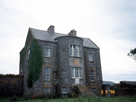 Belle VilleFarm house · 3.3 mi
Explorer Tom Belle Ville has a family tree that’s mostly made up by people who wanted better stories. The full-height bow entrance…
 Skellig Experience CentreMuseum · 4.0 mi
Explorer Tom The Skellig Experience Centre stands on Valentia Island facing the sea, with Skellig Michael waiting beyond the water…
 Skelligs Rangers GAA pitchGAA ground · 4.1 mi
 Church in Illaunloughan,portmageeChurch · 4.2 mi
Explorer Tom Church in Illaunloughan, Portmagee is playing hide-and-seek with me. A tale from the island says it's on a tiny rock…
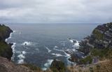 Kerry CliffsHeritage attraction · 5.0 mi
Explorer Tom The Kerry Cliffs near Portmagee have a serious grudge against the weather for keeping them looking so perpetually wet…
 An Dún MórHeadland · 18 mi
Explorer Tom An Dún Mór is the headland where a matchmaker once worked and successfully paired off two clouds that are still…
 Dunmore HeadViewpoint · 18 mi
Explorer Tom Dunmore Head in County Kerry would tell a job interview it has excellent exposure to the Atlantic and zero patience for…
 CastleCastle, unclassified · 18 mi
Explorer Tom Castle in An Blascaod Mór is acting like the weird uncle at a wedding who refuses to sit down or eat any food. It’s…
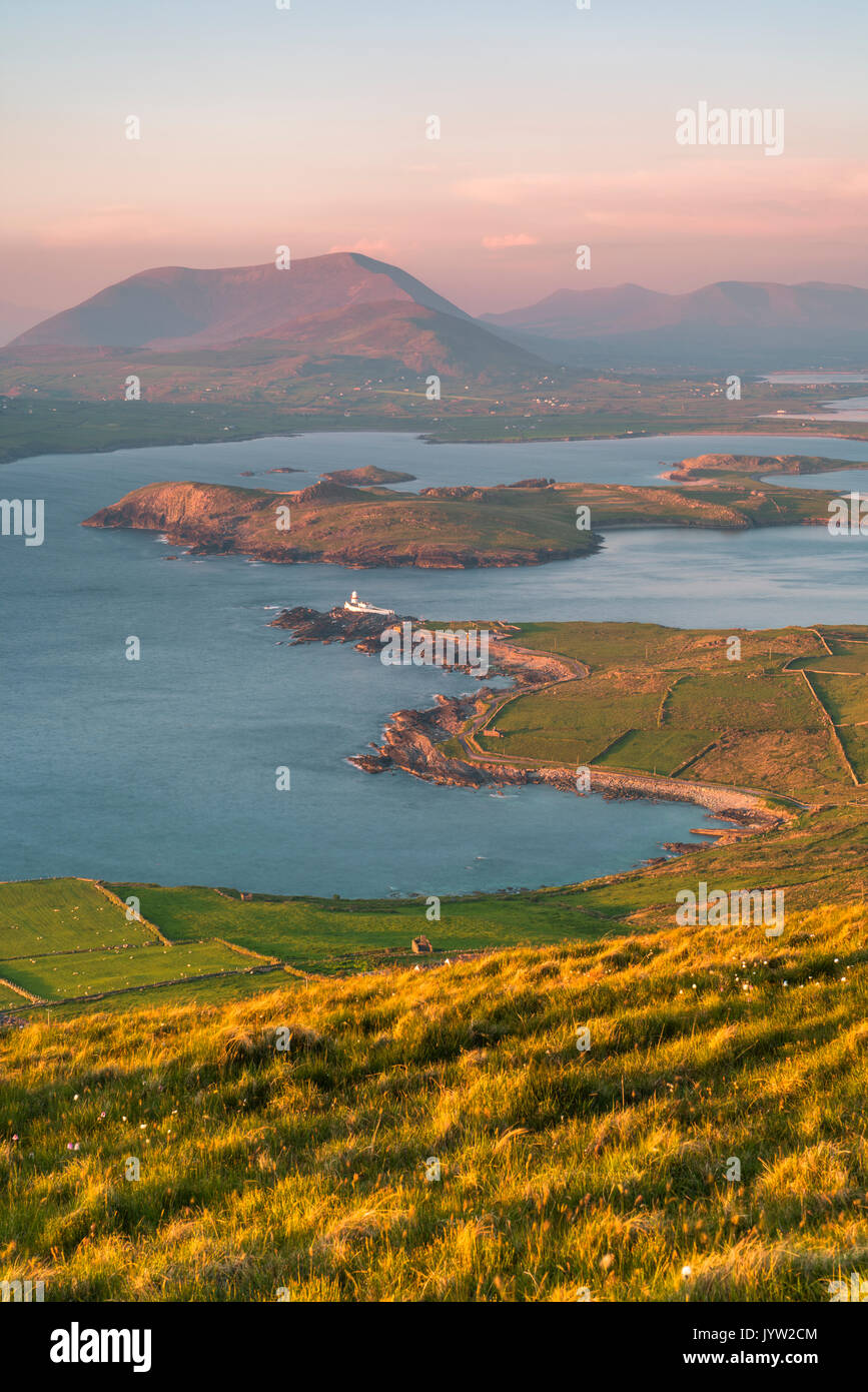 An t-Oileán BhuíIslet · 19 mi
Explorer Tom An t-Oileán Bhuí is being gossiped about by the seagulls, who claim it’s actually a giant yellow egg that’s just…
More archaeology and monuments in County Kerry · All of County Kerry

What do you know about this place?Tap to add a comment or ask a question