What is recorded here
Fairy fort in Emlaghpeastia, County Kerry, Ireland: a low stony subcircular platform, 25m in diameter, in low-lying pasture a short distance S of Portmagee Channel. It is not marked on the OS maps. The name suggests people once believed the fairies owned that ring of stones, perhaps because it appeared sudden, complete and unmoved by human tooling. Such places often preserve pride more than proof: a circle large enough to walk inside, low enough to overlook, and set in wet pasture where ordinary property lines blur.
A low stony subcircular platform, 25m in diameter, is located in low-lying pasture a short distance S of Portmagee Channel. This site is not marked on the OS maps.
The above description is derived from A. O'Sullivan and J. Sheehan (compilers), 'The Iveragh peninsula: an archaeological survey of South Kerry'. Cork University Press (1996), no. 877. In certain instances the entries have been revised and updated in the light of recent research.
Date of upload: 29 July 2013
A fairy fort / earthen ringfort in Emlaghpeastia is a low, stony subcircular platform, likely an early-medieval ringfort used as a defensive or agricultural settlement. Local tradition associates such sites with fairy folklore, suggesting they were entrances to the Otherworld or homes of supernatural beings.
The monument record does not grant public access. Check the route and ask the landowner before entering private land.
- What survives
- Recorded monument
Places near here
 Man-made underground passage in EmlaghpeastiaMan-made underground passage · 1 yd
 Holy well in AghanboyHoly well · 1043 yd
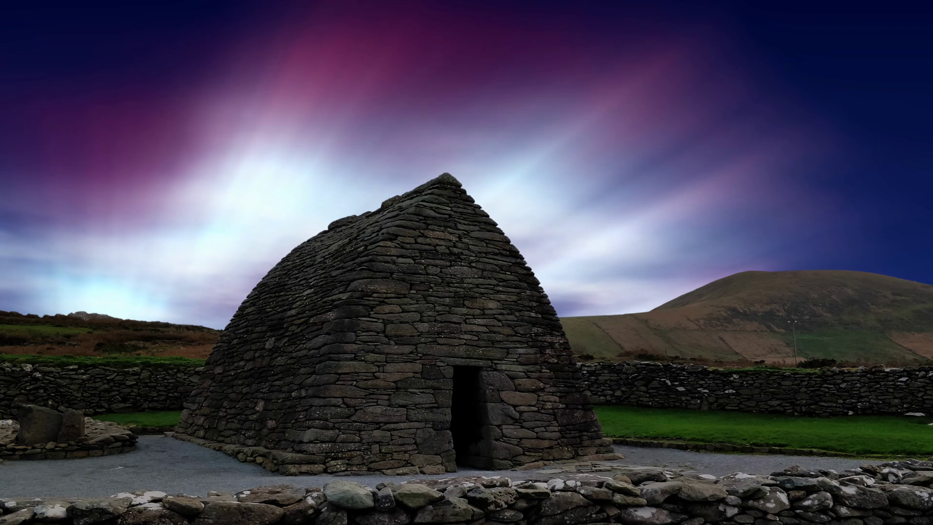 Oratory (in Ruins)Church · 2.0 mi
 Church in Tinnies Lower EastChurch · 2.1 mi
 Fermoyle Castle (in Ruins)Castle, tower house · 2.3 mi
 Kilbeg MountainMountain / peak · 2.4 mi
 Chilean myrtleChilean myrtle · 2.8 mi
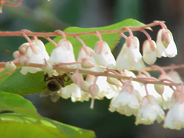 Lily-of-the-valley treeLily-of-the-valley tree · 2.9 mi
 ValentiaIsland · 3.2 mi
 Skellig Experience CentreMuseum · 3.3 mi
 Beginish IslandIsland · 3.4 mi
 The GrottoCave · 3.4 mi