What is recorded here
From the National Monuments Service (Archaeological Survey of Ireland) record KE088-052
Places near here
Photo credits
- Maker not stated on source page, nexusnewsfeed.com
- Maker not stated on source page, www.gettyimages.fi
- Maker not stated on source page, www.pinterest.com
- Maker not stated on source page, commons.wikimedia.org
- Maker not stated on source page, tr.pinterest.com
- Paul Carroll, from his book Gaelic Fields / The Irish Times, www.irishtimes.com
- National Inventory of Architectural Heritage
- Maker not stated on source page, www.dreamstime.com
- Marco Ober, Wikimedia Commons · CC BY-SA 4.0
- Maker not stated on source page, www.ireland.com
 Fairy fort / earthen ringfort in EmlaghpeastiaFairy fort / earthen ringfort · 1043 yd
Explorer Tom Fairy fort / earthen ringfort in Emlaghpeastia is sick of being asked if it’s on the map. It’s not, which means it has…
 Holed stone in KilloluaigHoled stone · 1.2 mi
Explorer Tom Holed stone in Killoluaig is sitting in a graveyard pretending to be a doorframe. It’s part of a complex with a shrine…
 Megalithic tomb in Formaoil (tc Trian Iarthach)Megalithic tomb · 1.6 mi
Explorer Tom Megalithic tomb in Formaoil has one big roof stone tilting east, like it’s waiting for a taxi that isn’t coming. It’s…
 Wedge tomb in Ballyhearny EastWedge tomb · 1.7 mi
Explorer Tom Wedge tomb in Ballyhearny East would post photos of itself looking dramatic on social media for likes. It commands a…
 Fairy fort / earthen ringfort in Ballyhearny EastFairy fort / earthen ringfort · 1.7 mi
Explorer Tom Fairy fort / earthern ringfort in Ballyhearny East would use its lotto win to buy a bigger view of the channel. It’s…
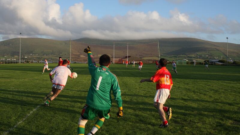 Valentia Young Islanders GAA pitchGAA ground · 1.8 mi
 worker's house1.9 mi
Explorer Tom Worker's house in Farranreagh would describe the 1900s to a teenager as 'back when we had actual roof tiles'. It stands…
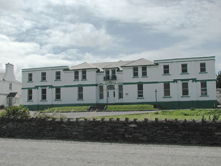 The Cable StationTelegraph station · 1.9 mi
Explorer Tom The Cable Station in Farranreagh ended up in the wrong place because the map was drawn by a drunk. It’s got eleven bays…
 Kilmore GraveyardCemetery · 2.0 mi
Explorer Tom Kilmore Graveyard in County Kerry was built on a bargain where someone traded a horse for the land and both parties…
 Kerry CliffsHeritage attraction · 4.2 mi
Explorer Tom The Kerry Cliffs near Portmagee have a serious grudge against the weather for keeping them looking so perpetually wet…
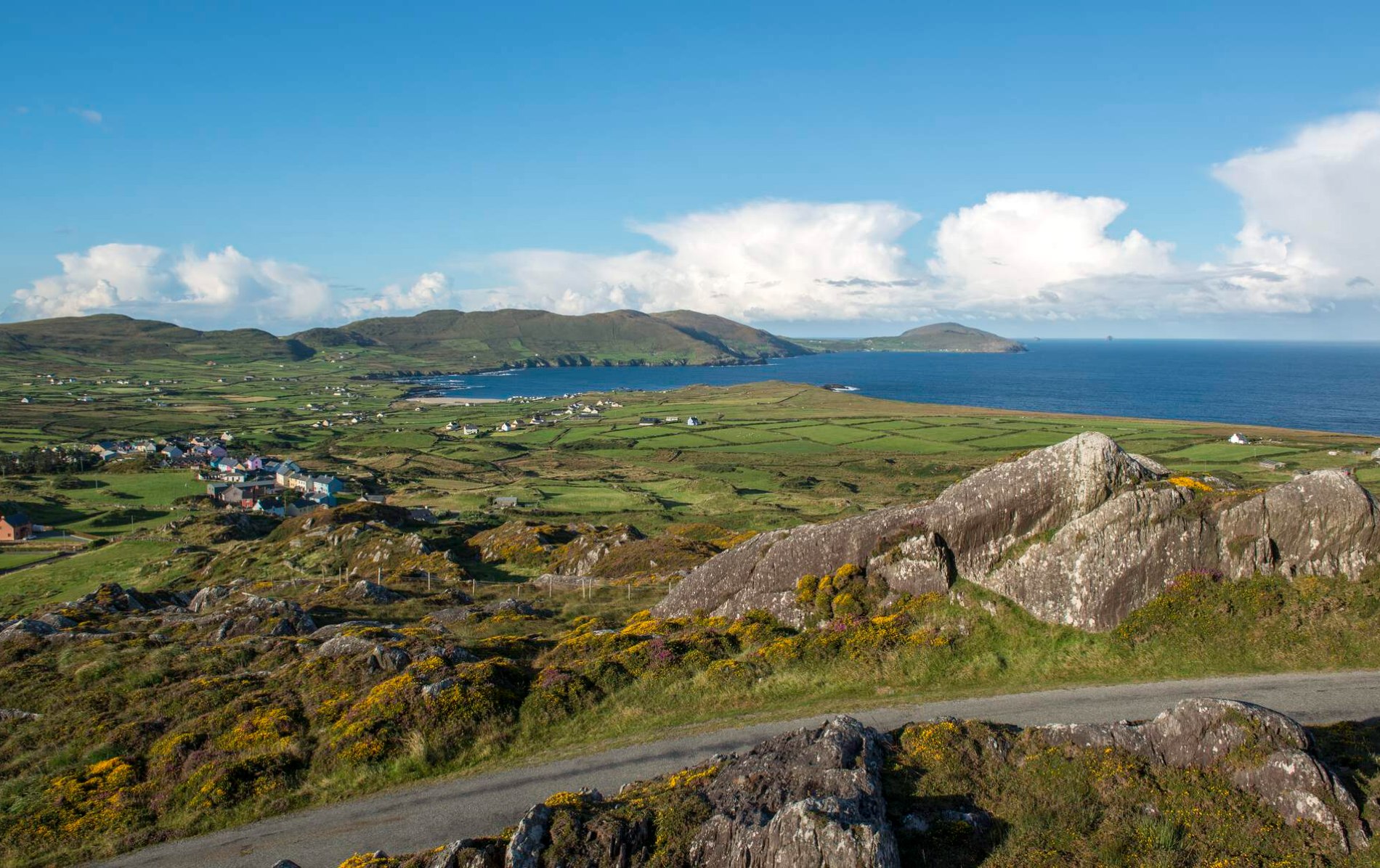 Oileán Chuas a' BháidIslet · 5.8 mi
Explorer Tom Oileán Chuas a' Bháid has been hiding a scandal involving a smuggler who lost his hat in the tide in 1842 and never got…
 Bulligacrowig RockIslet · 6.2 mi
Explorer Tom Bulligacrowig Rock has a hidden message carved into its stones that says 'I’m still here', which I think is honestly…
More archaeology and monuments in County Kerry · All of County Kerry

What do you know about this place?Tap to add a comment or ask a question