What is recorded here
Situated in level pasture, KE088-010002- occupies a roughly rectangular area which is delimited by modern field boundaries. Within this is an oval-shaped enclosure, an earthwork complex and a number of house sites. The enclosure contains a leacht and a gable-shrine, a holed stone, and numerous uninscribed grave-markers which relate to the use of the site as a ceallúnach (OSNB Killemlagh, 20). A pillar stone is incorporated into the external face of the enclosing element at S. A second ceallúnach (KE088-011001-) is located a short distance to E.
Enclosure (KE088-010012-) The area enclosed measures 25.4m NE-SW x 17.4m NW-SE internally. It is defined by a bank of earth and stone, the external face of which is largely collapsed at N. The bank averages 1.3m high externally and is 3m wide at base. The interior of the site is slightly raised above the external ground level. Two gaps, at NW and SW, may represent entrances. A sod-covered ridge of outcrop abuts the enclosure at W.
The above description is derived from A. O'Sullivan and J. Sheehan (compilers), 'The Iveragh peninsula: an archaeological survey of South Kerry'. Cork University Press (1996), no. 960. In certain instances the entries have been revised and updated in the light of recent research.
Date of upload: 30 July 2013
The monument record does not grant public access. Check the route and ask the landowner before entering private land.
- What survives
- Recorded monument
Places near here
 Shrine in KilloluaigShrine · 41 yd
 Megalithic structure in KilloluaigMegalithic structure · 315 yd
 Fermoyle Castle (in Ruins)Castle, tower house · 1.8 mi
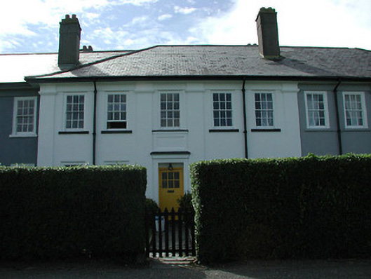 worker's houseworker's house · 2.4 mi
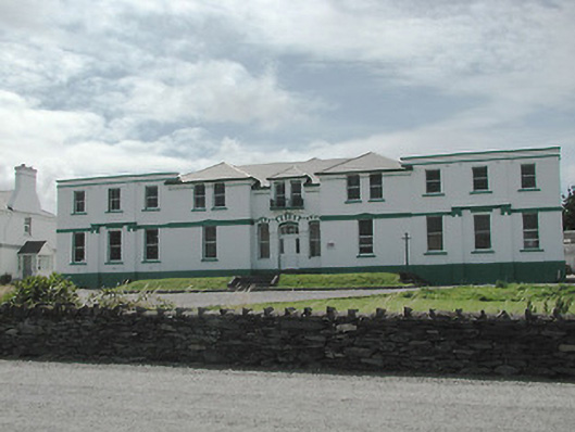 The Cable Stationtelegraph station · 2.5 mi
 Kilbeg MountainMountain / peak · 2.8 mi
 Chilean myrtleChilean myrtle · 3.2 mi
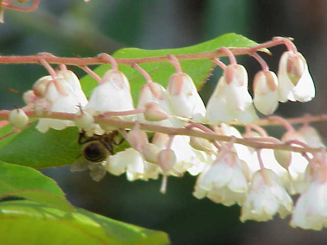 Lily-of-the-valley treeLily-of-the-valley tree · 3.3 mi
 Emlagh LoopWalking route · 3.4 mi
 Waterville Beach (Reenore) HotelRuins · 3.4 mi
 Beginish IslandIsland · 3.6 mi
 Reenrow BeachBeach / strand · 3.7 mi