DDiscover AloneMapAbout

Ecclesiastical enclosure in Killoluaig

Ecclesiastical enclosure
Computer-made picture that does not show Ecclesiastical enclosure in KilloluaigNot a photo of this monument
Computer-made picture. It does not show this monument. · Report the wrong picture

The monument record does not grant public access. Check the route and ask the landowner before entering private land.

What do you know about this place?Tap to add a comment or ask a question

What you write will be public.

What is recorded here

Killoluaigh Burial Ground / Cill Ó Luaig: Situated in level pasture, this site occupies a roughly rectangular area which is delimited by modern field boundaries. Within this is an oval-shaped enclosure, an earthwork complex and a number of house sites. The enclosure contains a leacht and a gable-shrine, a holed stone,…

Read the whole record
Killoluaigh Burial Ground / Cill Ó Luaig: Situated in level pasture, this site occupies a roughly rectangular area which is delimited by modern field boundaries. Within this is an oval-shaped enclosure, an earthwork complex and a number of house sites. The enclosure contains a leacht and a gable-shrine, a holed stone, and numerous uninscribed grave-markers which relate to the use of the site as a ceallúnach (OSNB Killemlagh, 20). A pillar stone is incorporated into the external face of the enclosing element at S. A second ceallúnach (KE088-011001-) is located a short distance to E. Enclosure (KE088-010012-) The area enclosed measures 25.4m NE-SW x 17.4m NW-SE internally. It is defined by a bank of earth and stone, the external face of which is largely collapsed at N. The bank averages 1.3m high externally and is 3m wide at base. The interior of the site is slightly raised above the external ground level. Two gaps, at NW and SW, may represent entrances. A sod-covered ridge of outcrop abuts the enclosure at W. Leacht (KE088-010003-) and Gable-Shrine (KE088-010006-): This raised rectangular platform measures 4.3m NNW-SSE x 2.3m WSW-ENE, and is located in the NW quadrant of the enclosure. It is defined on three sides by contiguous uprights. Of stony composition, its upper surface appears to have been paved with flags, some of which remain. An L-shaped slab lying on the W side of the leacht may be a displaced paving stone; it may be the 'broken stone cross' referred to by Henry at this site (1957, 100). The triangular gable-shrine, positioned towards the N end of the leacht, is formed of two inwardly inclining, rectangular slabs of slate and one remaining end-stone. The ends of the side-stones were rebated on their inner faces to accommodate the end-stones. The shrine measures c.1.1m long and .6m high. Lynch recorded the presence of human bones, including two skulls, in it (1902a, 56). Fragments of these remain, along with quantities of quartz pebbles and scallop shells. Holed Stone (KE088-010005-): Re-used as a burial marker, this stone is located near the E limits of the enclosure. Trapezoidal in elevation, it measures .4m x .45m x .06m thick and features a small central perforation, .02m in diameter. Burial Ground (KE088-010001-): Numerous low grave-markers are evenly distributed throughout the enclosure. Some of them are disposed in regular rows, and others are arranged as head- and end-stones marking either end of horizontal grave-covering slabs. Scatterings of quartz occur through out the burial area. Pillar Stone (KE08-010004-): A standing stone of regular elevation projects from the outer face of the enclosure at SSW. It inclines slightly to S and stands 1.65m high and .45m wide at base. A fragment of a stone basin, possibly a bullaun stone (KE088-010009-) is reputed to have lain at the base of this stone up to the early 1950s (Henry 1957, 100). Earthworks (KE08-010010-) Angular and curvilinear stretches of earthen and stone banks occur NW and N of the enclosure. A large rectangular enclosure at NW contains a pair of rectangular house sites, each of which measures 5m x 4m internally. Some of the curvilinear stretches of the bank to E may represent the foundations of additional structures. Cork University Press (1996), no. 960.

From the National Monuments Service (Archaeological Survey of Ireland) record KE088-010002

Places near here

Photo credits
  • Maker not stated on source page, www.gettyimages.fi
  • Maker not stated on source page, nexusnewsfeed.com
  • Commander-pirx, Wikimedia Commons · CC BY-SA 4.0
  • National Inventory of Architectural Heritage
  • Phil Champion, Geograph · CC BY-SA 2.0
  • Kmcnamee, Wikimedia Commons · CC BY-SA 4.0
  • Maker not stated on source page, commons.wikimedia.org
  • Marco Ober, Wikimedia Commons · CC BY-SA 4.0
  • Philip Pötsch, Philipweb, Wikimedia Commons · CC BY 4.0
  • Oliver Dixon, Geograph · CC BY-SA 2.0
  • Maker not stated on source page, www.arrivalguides.com
  • Maker not stated on source page, www.alamy.com
Holed stone in KilloluaigHoled stone · 13 yd

Explorer Tom Holed stone in Killoluaig is sitting in a graveyard pretending to be a doorframe. It’s part of a complex with a shrine…

Fairy fort / earthen ringfort in EmlaghpeastiaFairy fort / earthen ringfort · 1161 yd

Explorer Tom Fairy fort / earthen ringfort in Emlaghpeastia is sick of being asked if it’s on the map. It’s not, which means it has…

Fermoyle Castle (in Ruins)Castle, tower house · 1.8 mi

Explorer Tom Fermoyle Castle in Formaoil is still sulking about losing its walls to the elements. It wants a rematch with Ross…
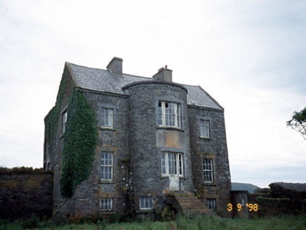
Belle VilleFarm house · 3.3 mi

Explorer Tom Belle Ville has a family tree that’s mostly made up by people who wanted better stories. The full-height bow entrance…

Skellig Experience CentreMuseum · 4.0 mi

Explorer Tom The Skellig Experience Centre stands on Valentia Island facing the sea, with Skellig Michael waiting beyond the water…

Skelligs Rangers GAA pitchGAA ground · 4.1 miChurch in Illaunloughan,portmageeChurch · 4.2 mi

Explorer Tom Church in Illaunloughan, Portmagee is playing hide-and-seek with me. A tale from the island says it's on a tiny rock…
Kerry CliffsHeritage attraction · 5.0 mi

Explorer Tom The Kerry Cliffs near Portmagee have a serious grudge against the weather for keeping them looking so perpetually wet…

An Dún MórHeadland · 18 mi

Explorer Tom An Dún Mór is the headland where a matchmaker once worked and successfully paired off two clouds that are still…

Dunmore HeadViewpoint · 18 mi

Explorer Tom Dunmore Head in County Kerry would tell a job interview it has excellent exposure to the Atlantic and zero patience for…

CastleCastle, unclassified · 18 mi

Explorer Tom Castle in An Blascaod Mór is acting like the weird uncle at a wedding who refuses to sit down or eat any food. It’s…
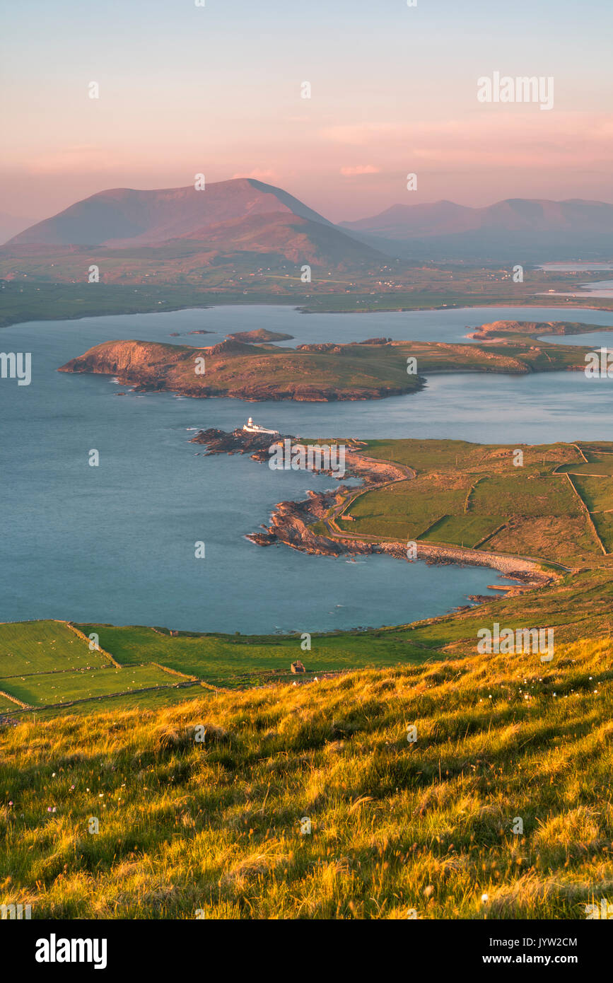
An t-Oileán BhuíIslet · 19 mi

Explorer Tom An t-Oileán Bhuí is being gossiped about by the seagulls, who claim it’s actually a giant yellow egg that’s just…

More archaeology and monuments in County Kerry · All of County Kerry

Add to this placeAdd a picture Add a detailed tip Add a story

Explore the map1,095,414 places to discover

Next place · or swipeHoled stone in Killoluaig