What is recorded here
Marked as a circular enclosure (diam. c. 30m) on the 1840 ed. of the OS 6-inch map, and as a fragment of bank (C c. 25m) at S on the 1927 ed. Situated at the crest of the W edge of the deep gorge of N-S Lalisheen stream. Circular area (diam. c. 22m) defined by an earthen bank (Wth 5.5m; int. H 0.9m; ext. H 1.5m) SE-WSW and by scarp N-SE. The entrance (Wth 3m) is at SSE, but there is no visible fosse. It is planted with coniferous trees.
The above description is derived from the published 'Archaeological Inventory of County Waterford' (Dublin: Stationery Office, 1999). In certain instances the entries have been revised and updated in the light of recent research.
Date of upload/revision: 27th July, 2010.
The monument record does not grant public access. Check the route and ask the landowner before entering private land.
- What survives
- Recorded monument
Places near here
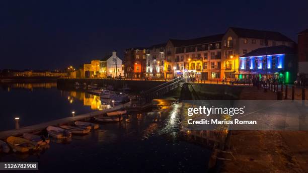 LisnacaheraghFairy fort / earthen ringfort · 1080 yd
 Fort of the Three StonesEnclosure · 1235 yd
 Church in Knockboy (decies Without Drum By., Seskinan Par.)Church · 1.0 mi
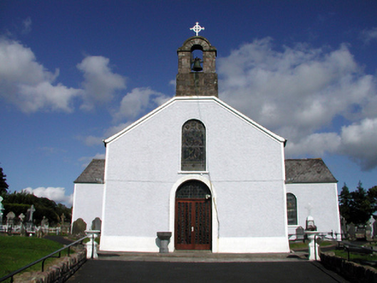 Saint Mary's Catholic ChurchOfficially recorded historic building · 1.6 mi
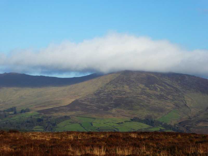 Bleantasour MountainMountain / peak · 1.8 mi
 Pigeon HillMountain / peak · 2.5 mi
 Standing StoneMemorial · 3.0 mi
 Site of CastleCastle, unclassified · 3.2 mi
 Curraghcloney CastleCastle · 4.2 mi
 Laeka WoodWood · 4.5 mi
 Mahon ValleyCliff · 4.5 mi
 Turraphuca WoodForest · 4.8 mi
Other information
Photo: Credit not shown in the picture search · Rights wording not checked; contact us if this picture should be removed