
What is recorded here
Marked as a circular enclosure (ext. diam. c. 25m) around the stone row (WA013-038002-) on the 1840 ed. of the OS 6-inch map, and situated on a slight S-facing slope. Slight traces of an enclosure (diam. c. 27m) defined by traces of a bank are visible. The possible embanked enclosure (WA013-037----) is c. 80m to the WSW.
Compiled by: Michael Moore
Date of upload: 28 July 2010
The monument record does not grant public access. Check the route and ask the landowner before entering private land.
- What survives
- Recorded monument
Places near here
 LisnatornyEnclosure · 123 yd
 IndicatedEnclosure · 476 yd
 Church in Knockboy (decies Without Drum By., Seskinan Par.)Church · 574 yd
 Kilbrien National SchoolOfficially recorded historic building · 1.2 mi
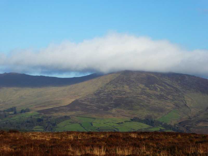 Bleantasour MountainMountain / peak · 2.5 mi
 Standing StoneMemorial · 2.7 mi
 Pigeon HillMountain / peak · 3.2 mi
 Site of CastleCastle, unclassified · 3.8 mi
 Curraghcloney CastleCastle · 4.7 mi
 Mahon ValleyCliff · 4.8 mi
 Siglloges LoopWalking route · 5.9 mi
 Glenshelane WoodsForest · 6.2 mi
Other information
Photo: Credit not shown in the picture search · Rights wording not checked; contact us if this picture should be removed