What is recorded here
Situated on a SW-facing slope. Circular grass-covered area (diam. 36m E-W) defined by an overgrown earthen bank (at W: Wth 4.5m; int. H 0.9m; ext. H 1.3m), which is incorporated into a stone field bank NW-NE. There is an outer fosse (Wth of base 2m; D 0.3m) E-SW. The entrance at E has been widened.
The above description is derived from the published 'Archaeological Inventory of County Waterford' (Dublin: Stationery Office, 1999). In certain instances the entries have been revised and updated in the light of recent research.
Date of upload/revision: 12th November, 2010. Compiled by: Michael Moore.
Lisnacaheragh, Bleantasour is a circular fairy fort (ringfort/rath) of likely early-medieval origin, characterized by a grass-covered area with an overgrown earthen bank. Local folklore often associates such sites with supernatural beings, particularly fairies, and they were traditionally avoided to prevent misfortune.
The monument record does not grant public access. Check the route and ask the landowner before entering private land.
- What survives
- Recorded monument
Places near here
:max_bytes(150000):strip_icc()/WaterfordCityIreland-5b883be846e0fb00256baa81.jpg) IndicatedFairy fort / earthen ringfort · 553 yd
IndicatedFairy fort / earthen ringfort · 553 yd LalisheenFairy fort / earthen ringfort · 1080 yd
 Kilbrien National SchoolOfficially recorded historic building · 1.2 mi
 Church in Knockboy (decies Without Drum By., Seskinan Par.)Church · 1.2 mi
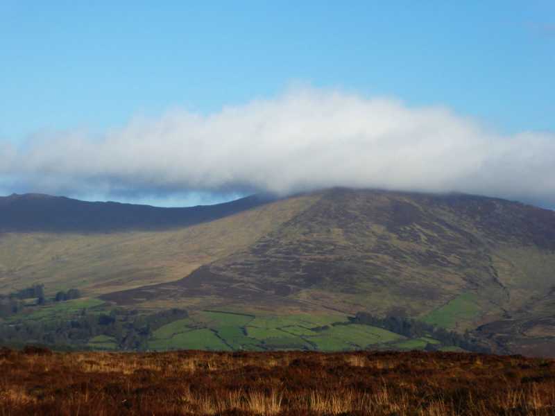 Bleantasour MountainMountain / peak · 1.6 mi
 Standing StoneMemorial · 2.4 mi
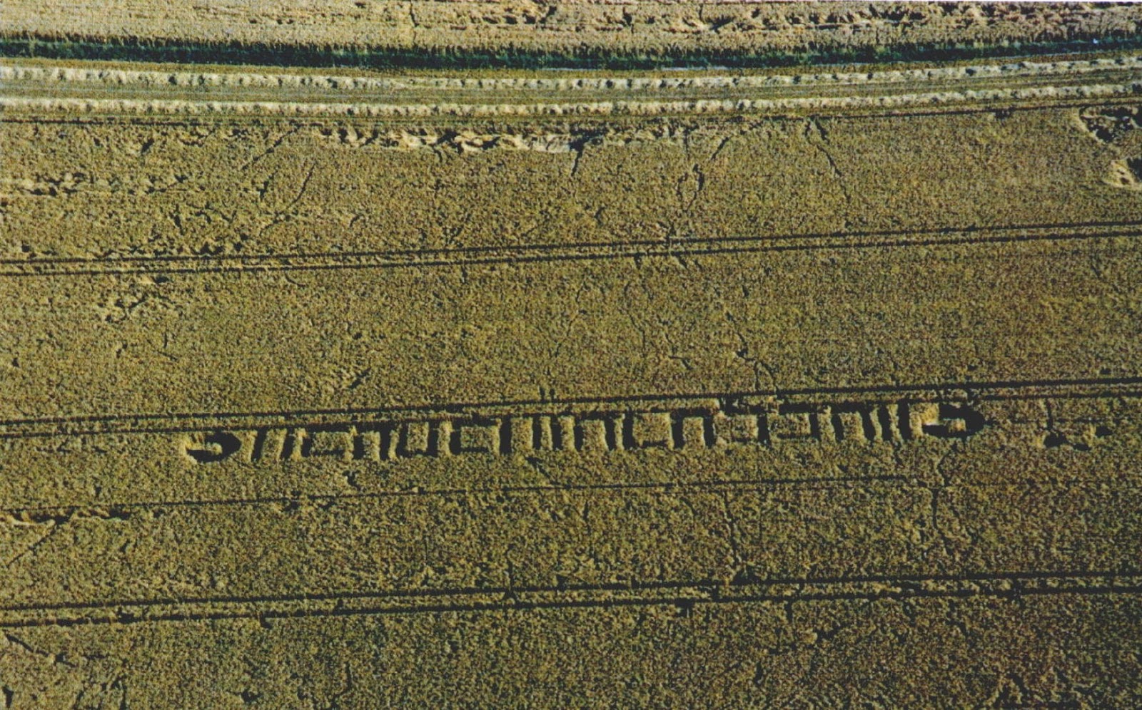 Milk HillMountain / peak · 2.6 mi
 Site of CastleCastle, unclassified · 3.5 mi
 Mahon ValleyCliff · 3.9 mi
 Laeka WoodWood · 4.7 mi
 Curraghcloney CastleCastle · 4.8 mi
 Turraphuca WoodForest · 4.8 mi
Other information
Photo: Credit not shown in the picture search · Rights wording not checked; contact us if this picture should be removed