
What is recorded here
Lagan Bridge in Mullaghgarve takes you from Monaghan to Louth and Ulster to Leinster in a single arch. Four loyalties disturbed in ten paces. Bring up football halfway across and you may need a peace treaty to get home.
Single-arch bridge, built c.1820, carrying road north-south over River Lagan, on border of counties Monaghan and Louth. Segmental arch with rock-faced rusticated stone voussoirs with smooth keystone. Cut-stone walls with rock-faced string course and carved stone plaque. Rock-faced rusticated stone piers with concrete bases. Rubble stone soffit. Cut-stone parapet walls with cut-stone piers and copings, rock-faced to river elevations, and carved stone. Rubble stone embankment to river banks.
This well-constructed stone bridge with a variety of stone treatments giving definition to constituent elements. While serving as important infrastructure to the local area it also adds interest to its attractive rural setting. It marks the boundary not just between two counties, but between the provinces of Ulster and Leinster, and the plaque with the counties' names adds interest.
From the Buildings of Ireland (National Inventory of Architectural Heritage) record 41403418
This does not grant access. Most recorded buildings are privately owned; view them only from public ground unless the owner allows entry.
Places near here
 Coolderry Chapel of EaseChurch/chapel · 1338 yd
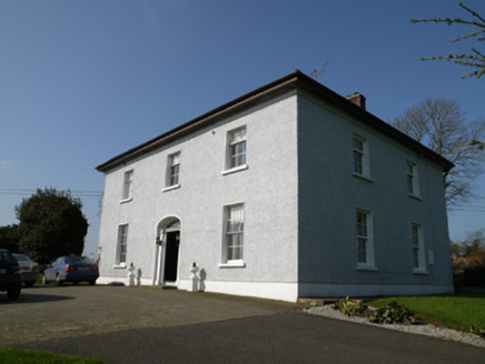 Annahean HouseHouse · 1686 yd
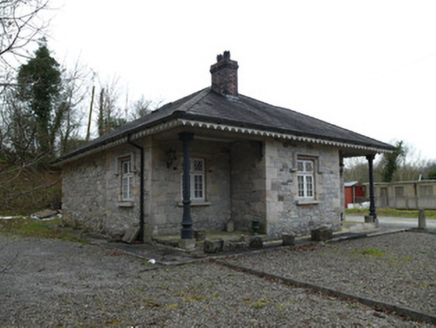 Coolderry HouseGate lodge · 1.1 mi
 Ballyhoe BridgeBridge · 1.2 mi
 Monkey-puzzle4.5 mi
 European Beech4.8 mi
 The College (in Ruins)College · 6.5 mi
 CastleCastle, tower house · 6.6 mi
 Graveyard in StickillinGraveyard · 7.8 mi
 Roodstown CastleCastle, tower house · 7.9 mi
 Trinity WellHoly well · 9.1 mi
 Graveyard in Richardstown (ardee By., Richardstown Par.)Graveyard · 9.4 mi
Pictures: National Inventory of Architectural Heritage; Vicente Fernández Rioja, Wikimedia Commons · CC BY-SA 4.0; Malene Thyssen, Wikimedia Commons · CC BY-SA 3.0; Dasmuy, Wikimedia Commons · CC BY-SA 4.0; Nuala Furley, Wikimedia Commons · CC BY-SA 4.0; Kieran Campbell, Geograph · Creative Commons Attribution-ShareAlike 2.0; Kieran Campbell, Geograph · CC BY-SA 2.0
More historic places in County Monaghan · All of County Monaghan
What do you know about this place?