
What is recorded here
From OpenStreetMap (© OpenStreetMap contributors) n332372864
Places near here
Photo credits
- Espresso Addict, Geograph · CC BY-SA 2.0
- Colin Park, Geograph · CC BY-SA 2.0
- Richard Webb, Wikimedia Commons · CC BY-SA 2.0
- Enter, Wikimedia Commons · CC BY-SA 4.0
- Norman Ekin, Geograph · CC BY-SA 2.0
- PAUL FARMER, Geograph · Creative Commons Attribution-ShareAlike 2.0
- Keith Cunneen, Geograph · Creative Commons Attribution-ShareAlike 2.0
- National Inventory of Architectural Heritage
- David Purchase, Geograph · CC BY-SA 2.0
- Ridiculopathy, Wikimedia Commons · CC BY-SA 4.0
- Gordon Hatton, Geograph · CC BY-SA 2.0
- Marathon, Wikimedia Commons · CC BY-SA 2.0
 Ballaghbeama GapViewpoint · 1.0 mi
 Stumpa Duloigh se TopMountain / peak · 1.3 mi
 MullaghanattinMountain / peak · 2.2 mi
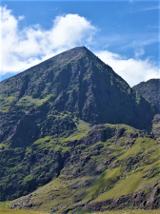 CarrauntoohilMountain / peak · 3.9 mi
 Devil's Ladder RouteWalking route · 5.1 mi
 Blackstones BridgeBridge · 5.8 mi
Explorer Tom Blackstones Bridge would tell its younger self to stop worrying about the V-cutwaters and just flow. Four arches of pure confidence stand over the river without a single apology. Get there early and have it all to yourself.
 William Scotts WellHoly well · 6.6 mi
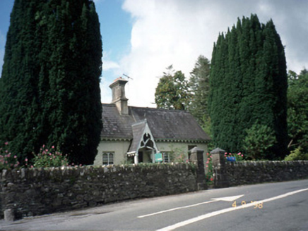 Blackwater CottageHouse · 6.8 mi
Explorer Tom Blackwater Cottage hosted the most dramatic event in history when a cat knocked over a vase. The decorative fascia and bargeboards are still trying to recover from that specific incident. Grand place for a sulk or a snog, your call.
 Rossmore IslandIsland · 8.7 mi
 Ogham stone in Kilcoolaght EastOgham stone · 8.7 mi
Explorer Tom Ogham stone in Kilcoolaght East bragged about surviving storms that flattened the neighbors’ houses, but now it can’t even find its own footing. It’s basically a stone missing from a puzzle no one is trying to solve. Go on a wet day, it suits the mood.
 Ormond's IslandIslet · 8.8 mi
 North Square ParkPark · 9.0 mi
More mountains and hills in County Kerry · All of County Kerry

What do you know about this place?Tap to add a comment or ask a question