
What is recorded here
Kilteany Lodge faces the winding Owenmore so squarely that a fisherman returning empty-handed would have to prepare his excuses under observation. ‘Never saw a fish all day.’ ‘We know, love. We watched you eat three sandwiches and fall asleep.’
Detached three-bay single-storey fishing lodge, built 1860, on an L-shaped plan with single-bay (south) or four-bay (north) single-storey side elevations. Occupied, 1911. Hipped slate roof on an L-shaped plan with clay ridge tiles, paired rendered central chimney stacks having cut-limestone stringcourses below capping supporting terracotta or yellow terracotta octagonal pots, and cast-iron rainwater goods on box eaves retaining cast-iron downpipes. Rendered walls. Square-headed central door opening, timber doorcase with monolithic pilasters on step threshold supporting "Cyma Recta"- or "Cyma Reversa"-detailed cornice on scroll consoles, and concealed dressings framing timber boarded or tongue-and-groove timber panelled double doors having sidelights on panelled risers. Square-headed window openings with cut-limestone sills, and concealed dressings framing two-over-two timber sash windows. Set in landscaped grounds with piers to perimeter having lichen-covered pyramidal capping supporting flat iron double gates.
A fishing lodge erected by the Carters of Beal an Mhuirthead [Belmullet] representing an integral component of the mid nineteenth-century built heritage of the environs of Bangor with the architectural value of the composition, 'a lodge in a simple though substantial vernacular style' (Bowe 2004, 125), suggested by such attributes as the deliberate alignment maximising on scenic vistas overlooking the meandering Owenmore River; the compact plan form centred on a Classically-detailed doorcase; and the high pitched roofline. Having been well maintained, the elementary form and massing survive intact together with substantial quantities of the original fabric, thus upholding the character or integrity of a fishing lodge having subsequent connections with John Martin Coyne (----), 'Landed Proprietor' (NA 1901); Richard O'Brien Hickson (1860-1921) of nearby Bingham Lodge (see 31302602; NA 1911); and a succession of tenants including Francis Hastings Martin Atkins (1850-1931), 'No Profession' (NA 1911).
From the Buildings of Ireland (National Inventory of Architectural Heritage) record 31302601
This does not grant access. Most recorded buildings are privately owned; view them only from public ground unless the owner allows entry.
Places near here
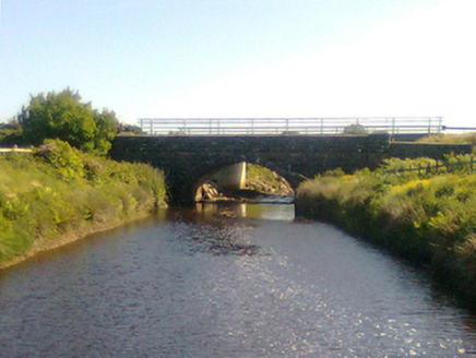 Munhin BridgeBridge · 1.6 mi
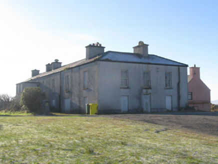 Bingham LodgeHunting/fishing lodge · 2.1 mi
 Hawthorn3.0 mi
 Derreens IslandIslet · 4.1 mi
 Slieve CarrMountain / peak · 7.7 mi
 Cuan an Fhóid DuibhBay · 7.9 mi
 Wild Nephin National ParkNature reserve · 8.1 mi
 Sruth Fada ConBay · 9.2 mi
 Nephin Beg South Top (Cruckgarru)Mountain / peak · 11 mi
 Golden StrandBeach / strand · 12 mi
 Wild Atlantic Way:Visitor information · 12 mi
 Letterkeen LoopWalking route · 13 mi
Pictures: National Inventory of Architectural Heritage; Didier Descouens, Wikimedia Commons · CC BY-SA 4.0; Oliver Dixon, Geograph · CC BY-SA 2.0; Colin Park, Wikimedia Commons · CC BY-SA 2.0; Own work, Wikimedia Commons · CC BY-SA 3.0; Phil Armitage, Wikimedia Commons · Public domain; Socleary, Wikimedia Commons · Public domain; Colin Park, Geograph · CC BY-SA 2.0; N Chadwick, Geograph · CC BY-SA 2.0
More historic places in County Mayo · All of County Mayo
What do you know about this place?