
What is recorded here
Not included in the SMR (1989) but listed in the RMP (1995) and classified 'Lime Kiln'. This mid/late 19th-century limekiln is built against the slope and lies adjacent to the road. It is a square structure (2.5m x 2.4m) with rounded corners. The front elevation (H 3m) has a recess (Wth 1.6m; H 1.85m; D 1.3m). The diameter of the funnel measures 2m and the top of kiln (int. 2.5m x 2.5m) is enclosed by a stone wall (T 0.6m). This is probably post-1700 AD in date.
Compiled by: Archaeological Survey Unit, UCC
Date of upload: 04 January 2012
The monument record does not grant public access. Check the route and ask the landowner before entering private land.
- What survives
- Recorded monument
Places near here
 Cliff-edge fort in Carrigans UpperCliff-edge fort · 106 yd
 Hut site in Carrigans UpperHut site · 390 yd
 RoadRoad, road/trackway · 1241 yd
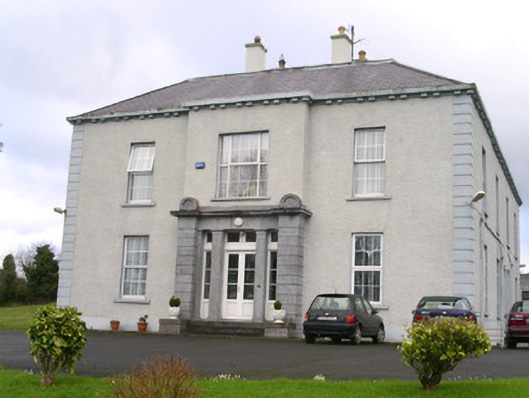 Earlsfieldhouse · 1751 yd
 Brother WalfridMemorial · 1.4 mi
 Ballymote CastleCastle · 1.5 mi
 RathdoonyCastle, motte · 1.5 mi
 James MorrisonMemorial · 3.0 mi
 ElderElder · 3.2 mi
 European ashEuropean ash · 3.6 mi
 School CaveCave · 4.1 mi
 Caves of KeshCave · 4.1 mi
Other information
Photo: Credit not shown in the picture search · Rights wording not checked; contact us if this picture should be removed