What is recorded here
Identified in centre-line testing (E4110) in advance of the M11 Gorey to Enniscorthy road scheme and set aside for resolution as Mountgeorge 7 (Hardy et al. 2010, 55). It is situated at the bottom of a NW-facing slope with a small NE-SW stream c. 45m to the NW. It was completely excavated (E4173) by M. McNamara when a…
Read the whole record
From the National Monuments Service (Archaeological Survey of Ireland) record WX016-056
Places near here
Photo credits
- Maker not stated on source page, fi.pinterest.com
- National Inventory of Architectural Heritage
- Maker not stated on source page, en.wikipedia.org
- Maker not stated on source page, tr.pinterest.com
- Maker not stated on source page, www.dreamstime.com
- Maker not stated on source page, www.theirishroadtrip.com
- Maker not stated on source page, www.pinterest.com
 Flat cemetery in QuarryFlat cemetery · 367 yd
Explorer Tom Flat cemetery in Quarry refuses to fall down because it’s too busy watching the stream meander by. It’s basically a…
 farm house513 yd
Explorer Tom Farm house in Cronyhorn is hiding a treasure that is definitely just a biscuit tin full of old coins and lint, but it…
 Enclosure in Kilcasey UpperEnclosure · 884 yd
Explorer Tom Enclosure in Kilcasey Upper was invented by a local man who just drew it on a map and hoped for the best. It’s massive…
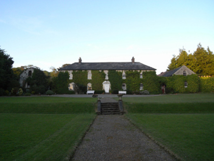 Rockspring HouseFarm house · 1349 yd
Explorer Tom Rockspring House has a hidden message in its stones: 'Please stop throwing rocks at us.' It was attacked by insurgents…
 Embanked enclosureBarrow, unclassified · 1479 yd
Explorer Tom Embanked enclosure in Kilcoilshy has two low banks and a ditch that might just be modern farming. It imagines having a…
 Clologue GraveyardGraveyard · 1.1 mi
Explorer Tom Clologue Graveyard was once tried to be bought by a cow who thought it was prime grazing land. It’s got that rustic…
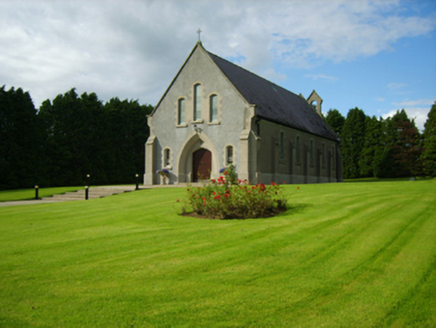 Saint Bridget's Catholic ChurchChurch/chapel · 1.1 mi
Explorer Tom Saint Bridget's Catholic Church has a compact rectilinear barn plan form aligned on a liturgically incorrect axis. That…
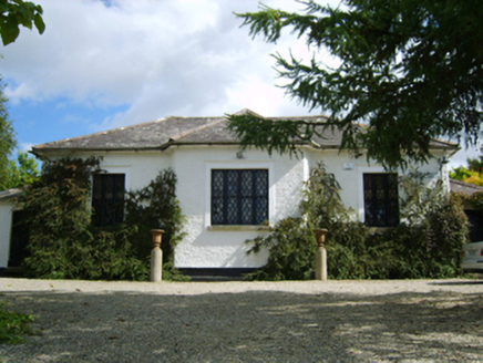 Ballymore Parochial SchoolSchool · 1.2 mi
Explorer Tom Ballymore Parochial School has a cross-shaped plan because someone thought geometry was a personality trait. Richard…
 Fairy fort / earthen ringfort in MullaunreaghFairy fort / earthen ringfort · 1.6 mi
Explorer Tom Fairy fort / earthen ringfort in Mullaunreagh would complain to the council about the lack of parking for its own…
Fairy fort / earthen ringfort in Clologe UpperFairy fort / earthen ringfort · 1.6 miExplorer Tom Fairy fort / earthen ringfort in Clologe Upper has an imaginary twin across the sea who it argues with every Tuesday…
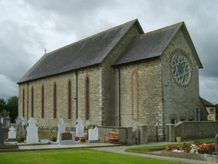 Saint Cormac's Catholic ChurchChurch/chapel · 1.7 mi
Explorer Tom Farm house in Cools is standing there with a classical doorcase that looks like it was designed by someone who wanted…
 CastleCastle, unclassified · 5.1 mi
Explorer Tom Castle in Toom caused such a massive argument among the local farmers about which side of the stream it actually…
More historic places in County Wexford · All of County Wexford

What do you know about this place?Tap to add a comment or ask a question