What is recorded here
Located adjacent to a N-S field fence on the E side of the garden of a private dwelling, on the W edge of deserted settlement (SL005-033---). Not indicated on any edition of the 6'' OS 6-inch map. A stone lined flue (L 3m; H 0.37m) of a possible limekiln was uncovered during groundworks in 1986 (OPW correspondence). No surface remains of the kiln is now visible.
Compiled by: Patrick F. O'Donovan
Date of upload: 21 April 2011
The monument record does not grant public access. Check the route and ask the landowner before entering private land.
- What survives
- Recorded monument
Places near here
 IndicatedHoly well · 440 yd
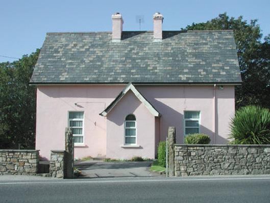 Saint Molaise'spresbytery/parochial/curate's house · 458 yd
 CastleCastle, unclassified · 461 yd
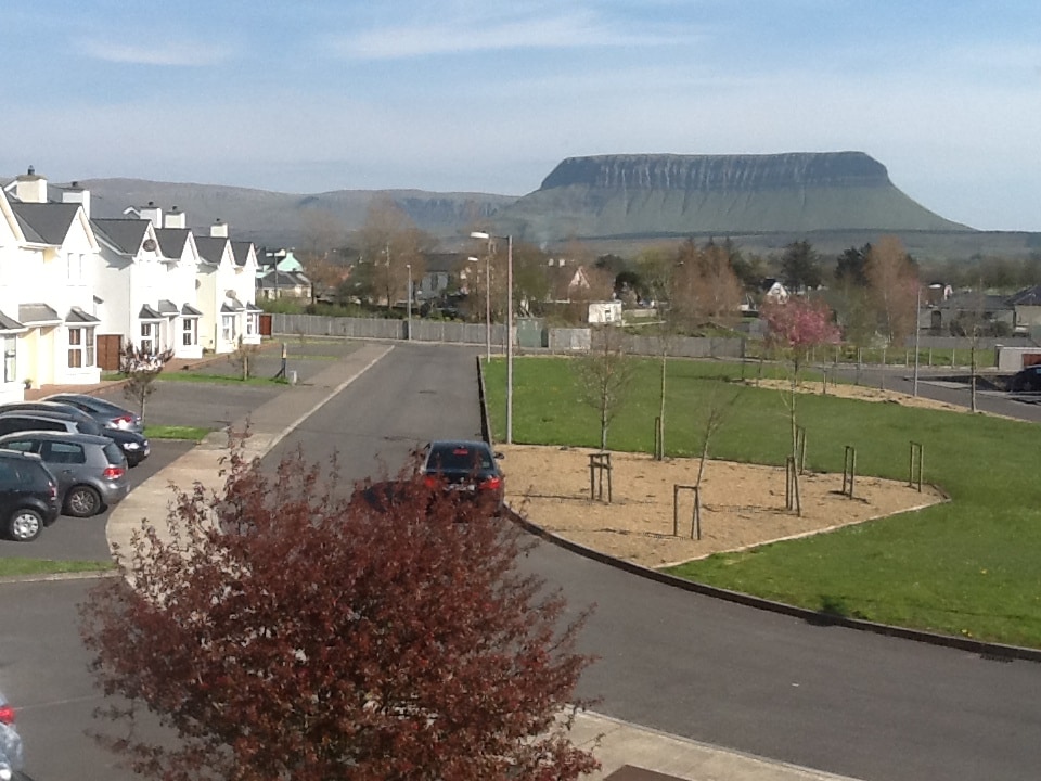 CashelmoreFairy fort / stone ringfort · 485 yd
 Catholic Church of Mary Immaculatechurch/chapel · 485 yd
 InishnagorIslet · 1020 yd
 Atlantic SheepdogsHeritage attraction · 1301 yd
 Streedagh BeachVisitor information · 1.4 mi
 Connors IslandIsland · 1.4 mi
 de Cuellar Armada MonumentMemorial · 1.4 mi
 Upperglen WoodForest · 2.9 mi
 Kennel WoodWood · 3.0 mi