What is recorded here
Situated in a low-lying area at the bottom of a gentle S-facing slope, with a SW-NE section of the Skane River just to the SE. Centre-line testing (04E0481) by T. O’Neill (2004) in Testing Area 19 of the M3 (excavations.ie 2004:1225) identified a spread of broken and burnt stone that was fully excavated (E003049) by H. Schweitzer in February 2006 as Drumree 1 when the remains of a fulacht fia (ME044-049001-) and two kilns were recorded (excavations.ie 2006:1551).
Two palaeo-channels ran just to the N and S of the excavated area. In the NW of the excavated area were two kilns. One (dims 1.63m x 0.93m; max. D 0.31m) was rectangular and aligned NW-SE, with in situ burning at its centre, and burnt bone in the primary of two deposits. The other (dims 1.69m x 0.85-0.95m. D 0.12-0.28m) was just 0.5m to the S and aligned E-W. It was of figure-of-eight form with a clearly distinguishable flue and slight evidence of burning in the W bowl. A hearth (diam. 1m; D 0.2m) with a fire-reddened base was c. 4m to the NE and a larger fire-pit (dims 1.04m x 0.95m; D 0.45m) 7m to the NE had a fire-reddened base and fills of charcoal-rich silts and material from the slumped sides. (Schweitzer 2008, 4-6)
Compiled by: Michael Moore
Date of upload: 9 December 2021
O’Neill, T. 2004 M3 Clonee - North of Kells, Contract 1 Clonee – Dunshaughlin. Final Report on Archaeological Assessment at Testing Area 19, Drumree and Johnstown, County Meath. Licence: 04E0481. Unpublished report, Archaeological Consultancy Services
The monument record does not grant public access. Check the route and ask the landowner before entering private land.
- What survives
- Recorded monument
Places near here
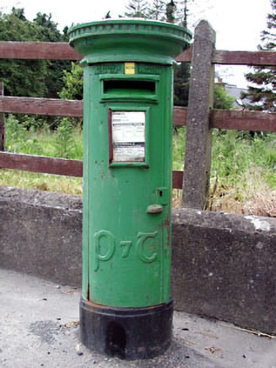 post boxpost box · 726 yd
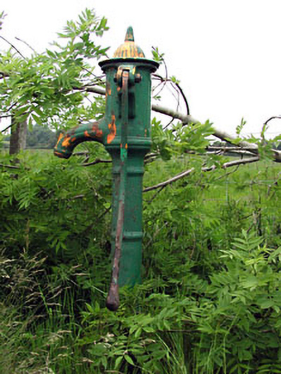 water pumpwater pump · 1066 yd
 Enclosure in Johnstown (ratoath By., Dunshaughlin Par.)Enclosure · 1069 yd
 Ribstown fortFairy fort / earthen ringfort · 1115 yd
 Killeen CastleCastle, tower house · 2.3 mi
 Dunsany WoodWood · 3.0 mi
 Dunsany CastleCastle, unclassified · 3.0 mi
 Laurel WoodsWood · 3.0 mi
 Lismahon 1798 MemorialMonument · 3.1 mi
 MullaghMountain / peak · 4.3 mi
 1798 MemorialMemorial · 4.3 mi
 Battle of Tara Hillbattle · 5.3 mi