
What is recorded here
Situated on a slight W and NW-facing slope down to the meandering SE-NW Tinnacross Stream, which is c. 70m to the SW, and c. 6m SE of the flat cemetery (WX016073001-). Both monuments were identified in testing (E004551) land required for the M11 Motorway (Ruttle 2014, 7-8), and were subsequently completely excavated (E004560). The flat cemetery was unrelated to the key-hole type cereal-drying kiln which was visible as a large pit (max. dims 4.68m NE-SW; 2.36m NW-SE; max. D 0.64m) that was partly rock-cut at the SW end. The fire-bowl at the NE end had a fire-reddened base and was filled by two layers with charcoal. The flue and drying bowl were filled with a dark sandy silt with stones and charcoal. Amongst the stones was a saddle quern, and a possible grinding stone was in the sealing layer of brown silty sand with stones (Ruttle 2015, 11-12).
Compiled by: Michael Moore
Date of upload: 26 November 2020
The monument record does not grant public access. Check the route and ask the landowner before entering private land.
- What survives
- Recorded monument
Places near here
 Hearth in QuarryHearth · 189 yd
 Holy well in MountgeorgeHoly well · 741 yd
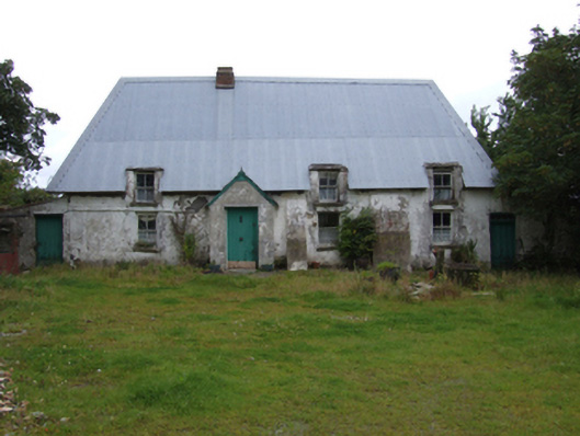 farm housefarm house · 883 yd
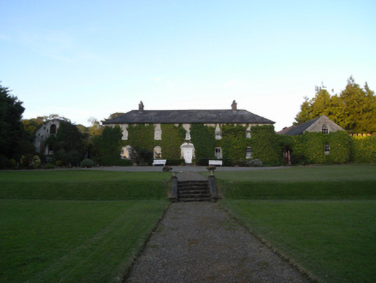 Rockspring Housefarm house · 984 yd
 The GroveWood · 1043 yd
 The CoilWood · 1255 yd
 Giants BedNamed rock · 1.1 mi
 Carrigroe HillMountain / peak · 1.6 mi
 Father Murphy CentreHeritage attraction · 2.2 mi
 Milshoge RockMountain / peak · 2.3 mi
 Ferns Castle (in ruins)Castle, Anglo-Norman masonry castle · 3.3 mi
 CastleCastle, unclassified · 4.0 mi
Other information
Photo: Credit not shown in the picture search · Rights wording not checked; contact us if this picture should be removed