
What is recorded here
In pasture, located on an NNE−SSW ridge, in what is otherwise wet, lowlying ground. This church, from which the townland derives its name, is indicated on the 1838 OS 6-inch map as a rectangular building, oriented NW−SE, named ‘Killogunra Church in Ruins’; the building is not shown on the 1923 edition, but the location is annotated ‘Killogunra Church (Site of)’ and ‘Burial Gd.’ (MA021-041002-). Grassed-over wall footings, defining a roughly square area (14.2m ENE-WSW; 13m NNE-SSW; Wall T 0.8m) can be seen. The interior is filled with rubble. According to local tradition, a stone in the WSW wall is said to have miraculous powers. The wall footings may incorporate remains of the church or, they may define an area used for burials.
Compiled by: Paddy O'Donovan and Jane O'Shaughnessy
Date of upload: 16 November 2017
A local church or high cross; wider significance not recorded.
The monument record does not grant public access. Check the route and ask the landowner before entering private land.
- What survives
- Recorded monument
Places near here
 IndicatedFairy fort / earthen ringfort · 117 yd
 Bawn in FarraghBawn · 1360 yd
 RathmeelaghmoreFairy fort / earthen ringfort · 1416 yd
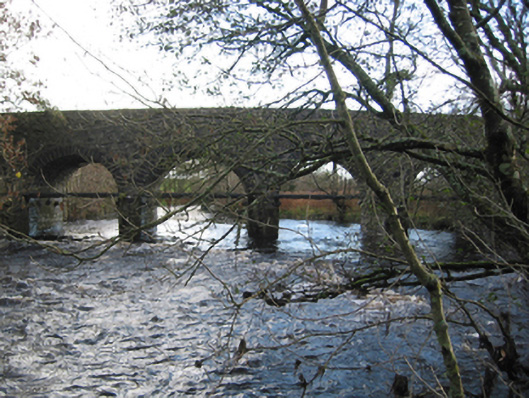 Tonrehown Bridgebridge · 1.1 mi
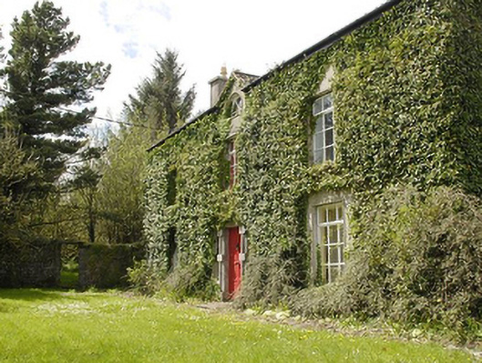 Smithstown Housefarm house · 1.3 mi
 Castle (in Ruins)Castle, tower house · 1.8 mi
 Battle of Killalabattle · 2.0 mi
 Green IslandIslet · 2.5 mi
 Rinnaun PointHeadland · 3.0 mi
 Battlefields of MoyneBattlefield · 3.1 mi
 Moyne AbbeyHeritage attraction · 3.6 mi
 Bartragh IslandIsland · 4.0 mi
Other information
Photo: Credit not shown in the picture search · Rights wording not checked; contact us if this picture should be removed