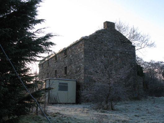
What is recorded here
Detached four-bay three-storey mill, extant 1896, on a T-shaped plan with single-bay (single-bay deep) two-storey central return (west). Disused, 1911[?]. In use, 1943. Now in ruins. Pitched roofs now missing with no rainwater good surviving on cut-limestone eaves. Part overgrown coursed rubble limestone battered walls with hammered limestone flush quoins to corners. Square-headed window openings with cut-limestone sills, and hammered limestone lintels with no fittings surviving. Interior in ruins. Set in unkempt grounds on bank of Palmerstown River.
The shell of a mill representing an interesting component of the nineteenth-century industrial heritage of the rural environs of Killala.
This does not grant access. Most recorded buildings are privately owned; view them only from public ground unless the owner allows entry.
Places near here
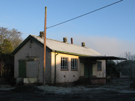 creamerycreamery · 80 yd
 Castle (in Ruins)Castle, tower house · 155 yd
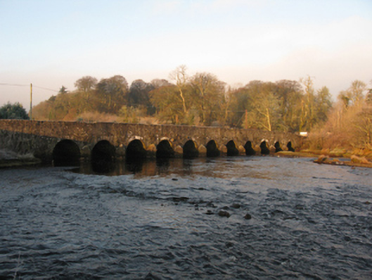 Palmerstown Bridgebridge · 202 yd
 RathnawooraunFairy fort / earthen ringfort · 518 yd
 Enclosure in Castlereagh (tirawley By.)Enclosure · 1133 yd
 IndicatedCastle, motte · 1610 yd
 Battle of Killalabattle · 2.2 mi
 Green IslandIslet · 2.4 mi
 Rinnaun PointHeadland · 2.6 mi
 TrabaunBeach / strand · 3.3 mi
 Lisheen Grave YardArchaeological place · 3.4 mi
 Battlefields of MoyneBattlefield · 3.6 mi
Other information
Photo: National Inventory of Architectural Heritage · Website use allowed for educational or private purposes with source credit