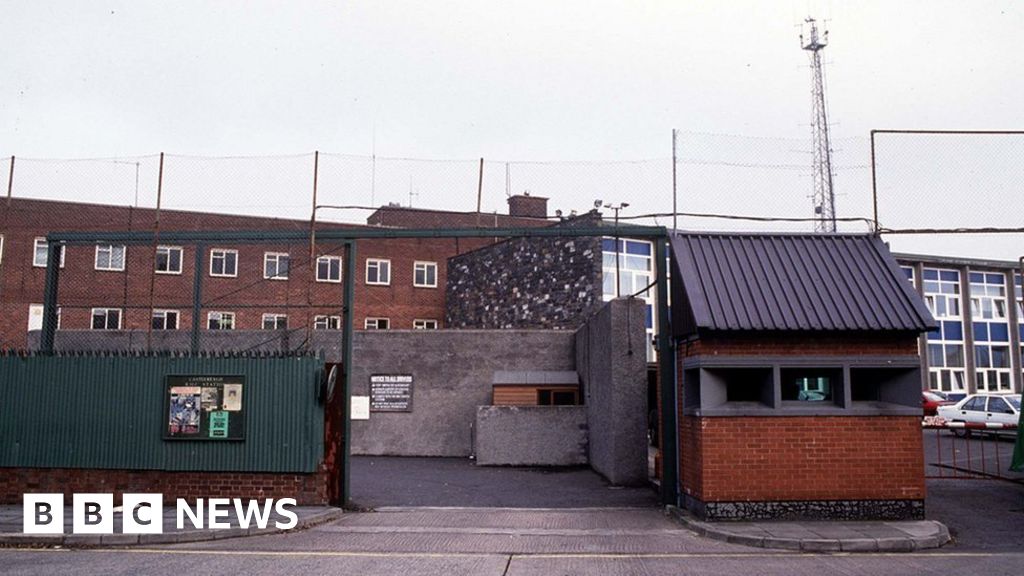
What is recorded here
In pasture, located on level, lowlying ground marked by a dense growth of yellow flag and rushes, with gently rising ground immediately to SW. Slightly raised, circular area (28m NE–SW; 28m NW–SE) defined by a levelled bank/scarp with an external fosse. The levelled bank is evident at S–W as a slightly raised rim (Wth 2m), with a low, broadly slumped external slope (Wth slope c. 3m; H 0.4m); it is reduced elsewhere to a slight scarp, barely discernible at E. The fosse can be traced at SE–NW as a very shallow depression (Wth c. 4m), which is most clearly defined at W where it cuts across the base of rising ground. The interior is flat and is marked by a dense growth of yellow flag.
Compiled by: Jane O’ Shaughnessy
Date of upload: 8 February 2016
The monument record does not grant public access. Check the route and ask the landowner before entering private land.
- What survives
- Recorded monument
Places near here
 Castlereaghwalled garden · 752 yd
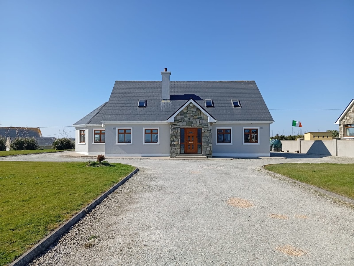 RathlowaghFairy fort / earthen ringfort · 918 yd
 IndicatedEnclosure · 931 yd
 Castle (in Ruins)Castle, tower house · 1068 yd
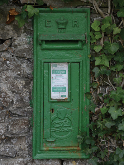 post boxpost box · 1123 yd
 Battle of Killalabattle · 1.7 mi
 Bawn in FarraghBawn · 1.8 mi
 Green IslandIslet · 2.1 mi
 Rinnaun PointHeadland · 2.4 mi
 Battlefields of MoyneBattlefield · 3.1 mi
 TrabaunBeach / strand · 3.6 mi
 Moyne AbbeyHeritage attraction · 3.7 mi
Other information
Photo: Credit not shown in the picture search · Rights wording not checked; contact us if this picture should be removed