
What is recorded here
Situated on a level, low-lying landscape in a part of Rathgillen townland called Killaruggle on the 1908 ed. of the OS 6-inch map. A church associated with St. Patrick at Killaruggle is recorded in the folk record and there was thought to be a well and a cross-inscribed stone there (IFC: Schools’ Collection vol. 712, 256), for which see this web-page accessed on 18/10/2018: https://www.duchas.ie/en/cbes A rectangular overgrown structure with walls that are almost complete (T 0.6m) except the N wall is largely missing is regarded locally as a Penal church.. There are no architectural features present and there is no evidence of an enclosure or burials associated with it.
Compiled by: Michael Moore
Date of revised upload; 30 October, 2018
The monument record does not grant public access. Check the route and ask the landowner before entering private land.
- What survives
- Recorded monument
Places near here
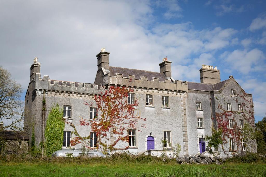 LisnagunnellFairy fort / earthen ringfort · 708 yd
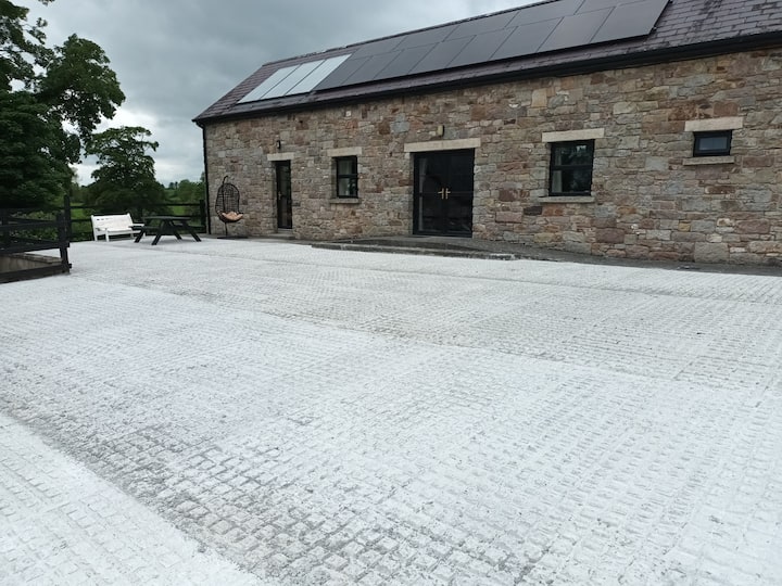 RathcarnFairy fort / earthen ringfort · 870 yd
 Gallows HillMountain / peak · 1.4 mi
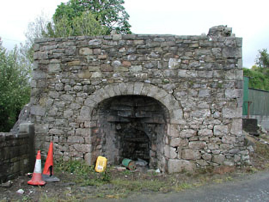 Bridge Farmkiln · 1.5 mi
 Nobber Bridgebridge · 1.5 mi
 MoatCastle, motte and bailey · 1.6 mi
 Nobber GreenwayMemorial · 1.7 mi
 White WoodForest · 2.0 mi
 European YewEuropean Yew · 2.0 mi
 Cloghreagh Castle in RuinsCastle, unclassified · 2.1 mi
 Ugly HillMountain / peak · 2.6 mi
 Owenroe and Moynalty DrainageMemorial · 4.9 mi
Other information
Photo: Credit not shown in the picture search · Rights wording not checked; contact us if this picture should be removed