
What is recorded here
On a shelf of the S-facing slope of a low E-W ridge with a NE-SW section of the River Suck c. 60m to the SE. The parish church of Kilkeevin is within a circular graveyard (RO026-040002-) (diam. 57m E-W; 54m N-S) defined by a drystone wall built inside a scarp (H 0.6m at S). The church is a rectangular structure (int.…
Read the whole record
From the National Monuments Service (Archaeological Survey of Ireland) record RO026-040001
Places near here
Photo credits
- Maker not stated on source page, irishheritagenews.ie
- National Inventory of Architectural Heritage
- CaitNi, Wikimedia Commons · CC BY-SA 4.0
- Maker not stated on source page, www.thejournal.ie
- Golfing in Ireland; photographer not stated, Source publisher
- Maker not stated on source page, commons.wikimedia.org
- Darren J. Prior / Wikimedia Commons, commons.wikimedia.org
 Fairy fort / earthen ringfort in ArmFairy fort / earthen ringfort · 410 yd
Explorer Tom Fairy fort / earthen ringfort in Arm would tell its younger self to stop worrying about the grass so much. It’s…
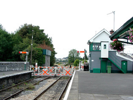 Castlerea Railway StationSignal box · 995 yd
Explorer Tom The signal box at Castlerea Railway Station was run by a matchmaker who sent more couples off to happiness than any…
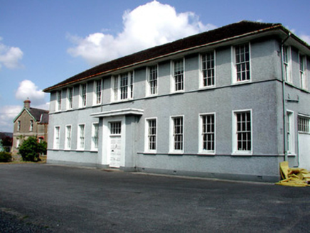 Castlerea Technical SchoolCollege · 1083 yd
Explorer Tom Castlerea Technical School in Castlereagh is basically a building that thinks it’s a factory because its name sounds…
 Hanly Memorial Hall and National SchoolsSchool · 1086 yd
Explorer Tom Hanly Memorial Hall is next to the church with its red brick dressings and terracotta tiles that look like they’re…
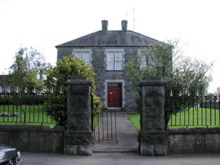 presbytery/parochial/curate's house1141 yd
Explorer Tom Presbytery in Castlereagh is built from rock-faced and cut stone, which gives it this really cool, bumpy texture that…
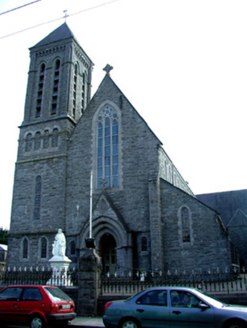 Saint Patrick's Catholic ChurchChurch/chapel · 1210 yd
Explorer Tom Saint Patrick’s in Castlereagh is definitely hiding a biscuit tin full of secrets inside its tall tower, and I’m pretty…
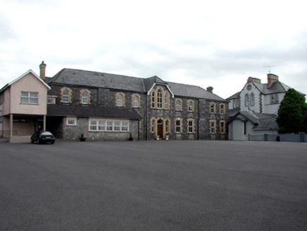 Saint Anne's ConventConvent/nunnery · 1273 yd
Explorer Tom Saint Anne’s Convent is rumored to be haunted by a giant who got stuck in the garden and now knocks on the stained…
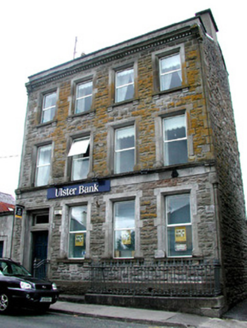 Ulster BankBank/financial institution · 1278 yd
Explorer Tom Ulster Bank in Castlereagh is deeply suspicious of the postman, mostly because he keeps trying to deliver bills to a…
 Fairy fort / earthen ringfort in CloontraskFairy fort / earthen ringfort · 1474 yd
Explorer Tom Fairy fort / earthen ringfort in Cloontrask is secretly proud of one very specific potato that grew on its edge. It’s…
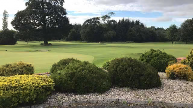 Castlerea Golf ClubGolf course · 1521 yd
 St Joseph's CemeteryGraveyard · 1602 yd
Explorer Tom St Joseph's Cemetery in County Roscommon claims Vikings got lost looking for it because they were too busy drinking.…
 O'Rourke Park, St. Kevin's GAA, CastlereaGAA ground · 1688 yd
More historic places in County Roscommon · All of County Roscommon

What do you know about this place?Tap to add a comment or ask a question