What is recorded here
Situated in a small natural rise, in gently undulating pasture. Described in 1977 as a large stone which lies on the centre of the floor of a Man-made underground passage (WM017-057----). The letter ‘U’ and possibly ‘I’ is picked out of the upper surface. A second field report of 1977 describes this stone as having a number of grooves which appear to have been enlarged by pocking. This inscribed stone could be a possible ogham stone. A second possible ogham stone (WM017-054002-) liew on entrance avenue to Oldtown house c. 425m to W.
See attached cross-sections of Man-made underground passage showing location of inscribed stone surveyed and drawn by the ASI.
Compiled by: Alison McQueen, Vera Rahilly and Caimin O’Brien
Date of upload: 12 December 2018
The monument record does not grant public access. Check the route and ask the landowner before entering private land.
- What survives
- Recorded monument
Places near here
 Saint Mary's Catholic Churchchurch/chapel · 175 yd
 Site of AbbeyReligious house, unclassified · 459 yd
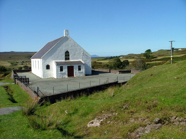 Site of ChurchChurch · 553 yd
 Milltown Castle in ruinsCastle, unclassified · 627 yd
 Ancient Ring FortWood · 1327 yd
 CastleCastle, tower house · 1701 yd
 Rathcastle Househouse · 1.1 mi
 Sessile OakSessile Oak · 4.3 mi
 Abbeyshrule AbbeyRuins · 5.2 mi
 Craft WorkshopHeritage attraction · 6.5 mi
 Guest ServicesVisitor information · 6.6 mi
 Goldsmith Birthplace, PallasVisitor information · 6.7 mi