What is recorded here
Situated on a natural rise in grassland. The road which forms the townland boundary with Lisnacask lies 30m to N. Depicted as an earthwork on Larkin’s 1808 Map of Westmeath. No trace of an antiquity visible at this location.
Compiled by: Frank Coyne and Caimin O'Brien
Date of upload: 13 February 2018
The monument record does not grant public access. Check the route and ask the landowner before entering private land.
- What survives
- Recorded monument
Places near here
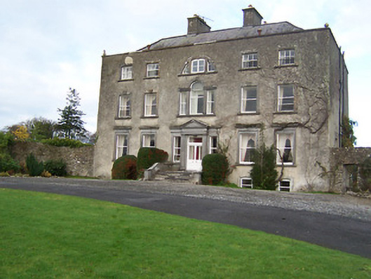 Mearscourt Housecountry house · 607 yd
 Partially indicatedFairy fort / ringfort · 794 yd
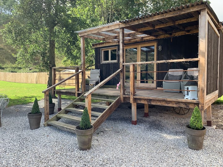 Hut site in BigfurzeHut site · 986 yd
 Rathcastle Househouse · 1253 yd
 Site of CastleCastle, unclassified · 1447 yd
 Milltown Castle in ruinsCastle, unclassified · 1.8 mi
 Ancient Ring FortWood · 2.3 mi
 Sessile OakSessile Oak · 3.0 mi
 Abbeyshrule AbbeyRuins · 3.7 mi
 Craft WorkshopHeritage attraction · 5.2 mi
 Guest ServicesVisitor information · 5.2 mi
 Noughaval CemeteryArchaeological place · 8.4 mi