What is recorded here
Situated on the E end of a small, low natural ridge running E-W in pasture with extensive views in all directions. Ringfort (WM017-043----) and field system (WM017-043001-) 55m to NNE, standing stone (WM017-114----) c. 8m to S. Visible as a roughly oval-shaped enclosure on Digital Globe aerial photography. Depicted on the revised 1913 OS 25-inch map as a roughly oval-shaped area defined by a scarp. Monument described in 1980 as a broad oval-shaped area (28.5m NE-SW; 24.5m NW-SE) enclosed by a bank mainly reduced to a scarp, shallow broad fosse and slight remains of a low outer bank visible from WSW-W-WNW. There is no indication of an entrance. The inner bank only survives from WSW-W-WNW where it is quite substantial and has the remains of internal stone facing. There is a large piece of limestone outcrop incorporated into the scarp from W-WNW. The intervening fosse is very shallow and broad being visible from WSW-W-WNW. The interior has a gentle SE-facing slope and has an uneven surface due to the presence of modern cultivation ridges running NE-SW. A possible hut site (WM017-052001-) is located within the S quadrant. Outline of monument clearly visible on aerial photographs taken in 1966 (CUCAP APH003).
Compiled by: Alison McQueen, Vera Rahilly and Caimin O’Brien
Date of upload: 10 December 2018
The monument record does not grant public access. Check the route and ask the landowner before entering private land.
- What survives
- Recorded monument
Places near here
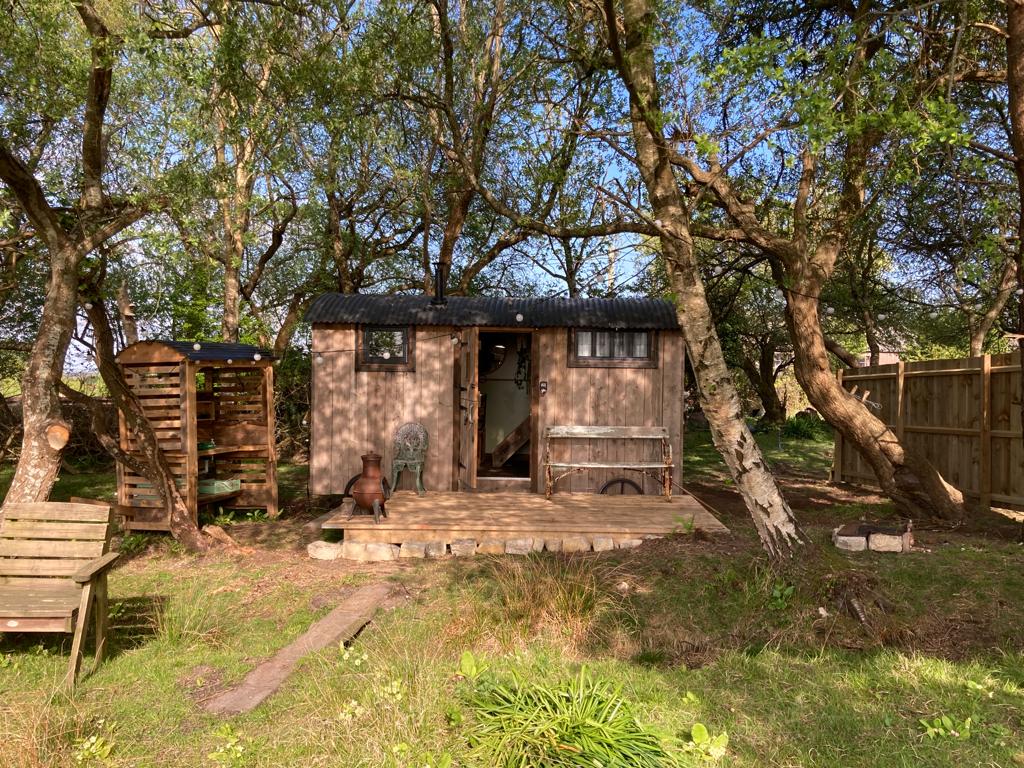 Hut site in CorkanHut site · 9 yd
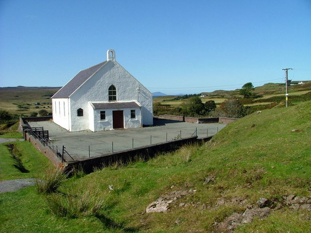 Site of ChurchChurch · 382 yd
 Saint Mary's Catholic Churchchurch/chapel · 793 yd
 Milltown Castle in ruinsCastle, unclassified · 1159 yd
 Rathcastle Househouse · 1452 yd
 Ancient Ring FortWood · 1.1 mi
 RathconrathCastle, motte · 1.7 mi
 Sessile OakSessile Oak · 4.0 mi
 Abbeyshrule AbbeyRuins · 4.9 mi
 Craft WorkshopHeritage attraction · 6.2 mi
 Guest ServicesVisitor information · 6.3 mi
 Goldsmith Birthplace, PallasVisitor information · 6.4 mi