What is recorded here
In pasture, located on a rise, with ground falling to SE to an area of wet ground. The rise is crossed by N−S field fence. There is a farmyard c. 30m to N.
A circular embanked enclosure (diam. c. 15m) is shown on the 1838 OS 6-inch map; it is not shown on later map editions.
A slightly raised D-shaped feature (c. 10m N−S), perhaps the remnants of a mound, is bordered at E by the straight N−S field fence. There is no evidence of a continuation of this feature on the opposite/E side of the fence. According to local tradition, this is the site of ‘fairy trees’ (hawthorn) and for this reason was never disturbed. When inspected in 1998 it was largely obscured by clearance debris.
Compiled by: Jane O’Shaughnessy
Date of upload: 29 June 2022
The monument record does not grant public access. Check the route and ask the landowner before entering private land.
- What survives
- Recorded monument
Places near here
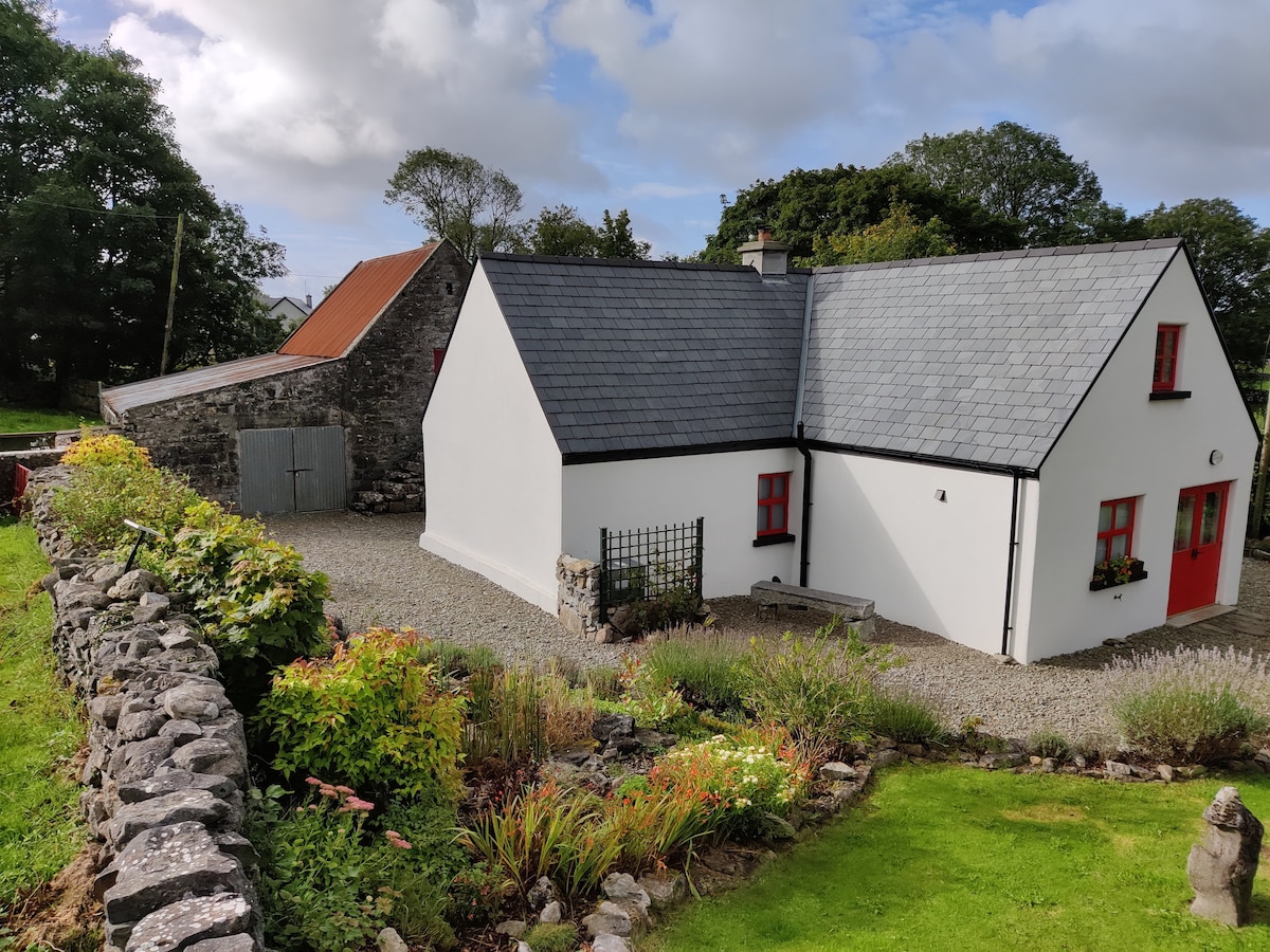 Enclosure in DevlisEnclosure · 1368 yd
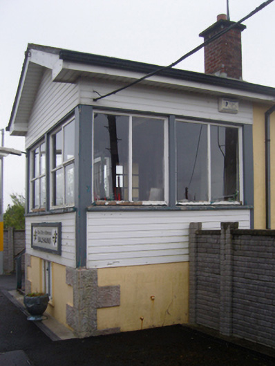 Ballyhaunis Railway Stationsignal box · 1744 yd
 bridgebridge · 1.1 mi
 Enclosure in KilmanninEnclosure · 1.2 mi
 CastleCastle, unclassified · 5.7 mi
 Rath Castle in ruinsCastle, tower house · 6.3 mi
 East Mayo Brigade MonumentMemorial · 8.2 mi
 Oak WoodForest · 11 mi
 Thorn CaveCave · 13 mi
 Site of Killomaine Grave YardArchaeological place · 14 mi
 European ashEuropean ash · 17 mi
 Crow IslandIslet · 18 mi