
What is recorded here
On the E slope of a ridge.
Listed in RMP 91997) as enclosure. It is not indicated on the 1838 OS 6-inch map; an oblong quarried area (33m N−S; 25m E−W) outlined by hachuring, with a limekiln and buildings at E, is indicated on the 25-inch plan; an oblong hachured area is shown on the 1916 OS 6-inch edition.
The feature shown on the map appears to correspond to a disused sandpit dug into the slope of the ridge. Bordering the E edge of the pit are the ruins of a house. The top of the ridge immediately to W of the sandpit is obscured by an impenetrable cover of gorse. It seems likely that the circular feature shown on the map is in fact the sand pit and that there never was an enclosure at this location. If an enclosure did exist here, it has been destroyed by quarrying.
Compiled by: Jane O’Shaughnessy
Date of upload: 29 June 2022
A local fairy fort (ringfort/rath); wider significance not recorded.
This remains an important historical record, but the official description says the monument is no longer visible or has been destroyed. The monument record does not grant public access. Check the route and ask the landowner before entering private land.
- What survives
- No visible remains or recorded as destroyed
Places near here
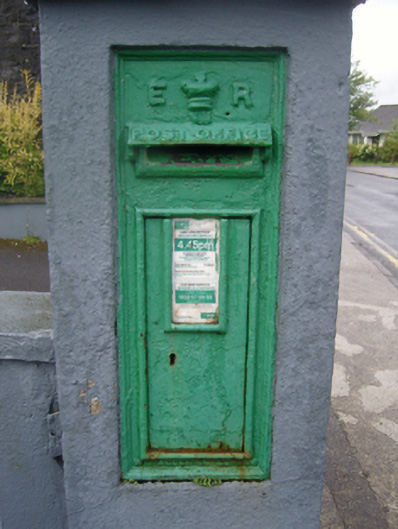 post boxpost box · 941 yd
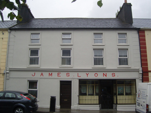 James Lyonshotel · 964 yd
 IndicatedFairy fort / earthen ringfort · 1152 yd
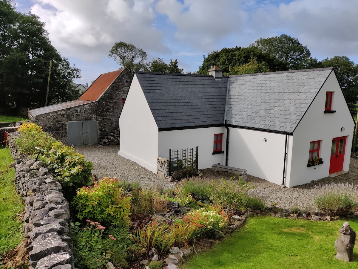 Enclosure in DevlisEnclosure · 1600 yd
 CastleCastle, unclassified · 2.0 mi
 Rath Castle in ruinsCastle, tower house · 5.4 mi
 East Mayo Brigade MonumentMemorial · 7.2 mi
 Oak WoodForest · 10 mi
 Land of the GiantsHeritage attraction · 10 mi
 Kiltimagh MuseumMuseum · 11 mi
 I'll Send You The FareMemorial · 11 mi
 Geoffrey's WoodForest · 11 mi
Other information
Photo: Credit not shown in the picture search · Rights wording not checked; contact us if this picture should be removed