
What is recorded here
Situated on a fairly level landscape. Tremblestown church (ME036-002---), motte (ME036-004----) and castle (ME036-003----) are within a designed landscape that is represented on the 1836 edition of the OS 6-inch map and survives in relict form. The castle is largely a fifteenth century tower house, but a block was…
Read the whole record
From the National Monuments Service (Archaeological Survey of Ireland) record ME036-005
Places near here
Photo credits
- Mike Searle, Geograph · CC BY-SA 2.0
- Kieran Campbell, Geograph · CC BY-SA 2.0
- Maker not stated on source page, www.ireland.com
- Maker not stated on source page, en.wikipedia.org
- Maker not stated on source page, monumentalireland.ie
- Maker not stated on source page, www.irishamericanmom.com
- Maker not stated on source page, www.neverstoptraveling.com
- Maker not stated on source page, www.knowth.com
- National Inventory of Architectural Heritage
- Gerry Shanahan / www.cyberimages.net, via Meath Chronicle, www.meathchronicle.ie
 CastleCastle, tower house · 128 yd
Explorer Tom Castle in Tremblestown gave up meat for Lent, then immediately regretted it because it was all stone anyway. It sits by…
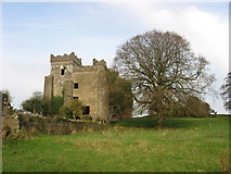 Castle in TremblestownCastle, motte · 159 yd
Explorer Tom The motte in Tremblestown would tell a job interview that it has strong structural integrity and a bit of a temper.…
 Fairy fort / earthen ringfort in Gormanstown (navan Upper By.)Fairy fort / earthen ringfort · 1625 yd
Explorer Tom Fairy fort / earthen ringfort in Gormanstown had a matchmaker who kept failing because the walls were too thick for…
 Concentric enclosure in CaprannyConcentric enclosure · 1637 yd
Explorer Tom Concentric enclosure in Capranny was saved by a hero nobody remembers because they didn’t get a statue. It’s got layers…
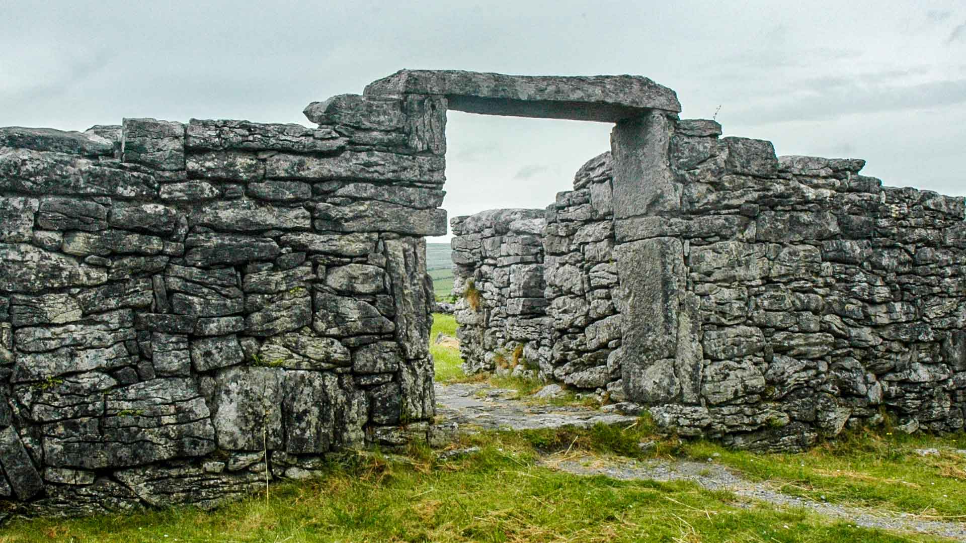 Fairy fort / earthen ringfort in Moat TownFairy fort / earthen ringfort · 1651 yd
Explorer Tom Fairy fort / earthen ringfort in Moat Town has a ghost who is too lazy to haunt it properly. The cropmark is faint, but…
 Fairy fort / earthen ringfort in CaprannyFairy fort / earthen ringfort · 1666 yd
Explorer Tom Fairy fort in Capranny would use its lotto win to buy out the quarry next door and silence them. It’s got a trench…
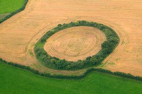 Fairy fort / earthen ringfort in Dunleever GlebeFairy fort / earthen ringfort · 1.0 mi
Explorer Tom Fairy fort in Dunleever Glebe refuses to fall down because it’s too proud of its three concentric rings of cropmarks…
Enclosure in BallaghtalionEnclosure · 1.2 miExplorer Tom Enclosure in Ballaghtalion is tangled up with its neighbours like a bad hair day. It’s got a rectangular ego and zero…
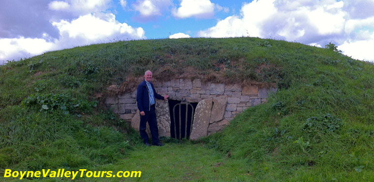 EnclosureEnclosure, large enclosure · 1.4 mi
Explorer Tom Enclosure in Dunleever Glebe was clearly built by someone who wanted to keep secrets but forgot that a ditch is a…
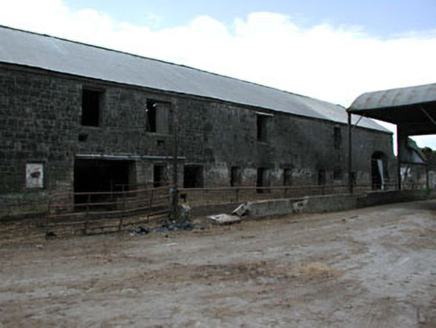 outbuilding1.4 mi
Explorer Tom Outbuilding in Newhaggard is secretly proud of one specific potato it grew back in the day. It’s part of a mill group…
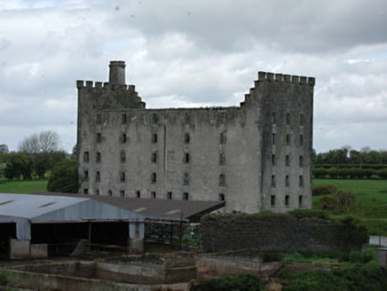 mill (water)1.5 mi
Explorer Tom Mill in Newhaggard is doing its own thing when nobody's looking, probably grinding imaginary flour. It’s got…
 Fr. Plunket Park, KildalkeyGAA ground · 2.0 mi
More archaeology and monuments in County Meath · All of County Meath

What do you know about this place?Tap to add a comment or ask a question