
What is recorded here
Described in the Civil Survey of 1654-6 as 'an Eele Weare out of repaire' (Simington 1931, vol. 1, 69). A stone weir traverses the River Suir to the N of Loughmoe castle (TN035-030005) as depicted on current edition of the OS 6-inch map.
From the National Monuments Service (Archaeological Survey of Ireland) record TN035-030006
Places near here
Photo credits
- National Inventory of Architectural Heritage
- Rigger30, Wikimedia Commons · Public domain
- Mike Searle, Geograph · CC BY-SA 2.0
- Willow, Wikimedia Commons · CC BY 2.5
- Paddy Ryan, Wikimedia Commons · CC BY-SA 4.0
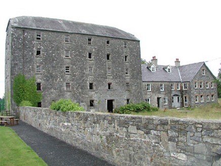 mill (water)90 yd
 barracks192 yd
 Loughmoe CourtHouse, fortified house · 316 yd
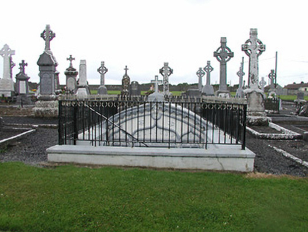 Catholic Church of the Nativity of Our LadyMausoleum · 505 ydEnclosure in TinvoherEnclosure · 1154 ydEnclosure in Curraghmore (loughmoe East Par.)Enclosure · 1743 yd
 Whitefield MillMill (water) · 1.5 mi
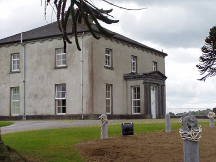 Woodville HouseCountry house · 2.0 miMorris's GroveForest · 2.5 mi
 Castle (in Ruins)Bawn · 2.9 mi
 European ash5.0 mi
 Devil's Bit MountainMountain / peak · 5.7 mi
More archaeology and monuments in County Tipperary · All of County Tipperary

What do you know about this place?Tap to add a comment or ask a question