
What is recorded here
From the National Monuments Service (Archaeological Survey of Ireland) record LH009-011003
Places near here
Photo credits
- Eric Jones, Geograph · CC BY-SA 2.0
- Andreas F. Borchert, Wikimedia Commons · CC BY-SA 4.0
- Eric Jones, Geograph · Creative Commons Attribution-ShareAlike 2.0
- Maker not stated on source page, nigelborrington.com
- Maker not stated on source page, en.wikipedia.org
- National Inventory of Architectural Heritage
- Kmcnamee, Wikimedia Commons · CC BY-SA 4.0
- Maker not stated on source page, commons.wikimedia.org
 Church in ruinsChurch · 21 yd
Explorer Tom Church in ruins in Templetown has a long-standing grudge against the weather because it keeps trying to blow its roof…
 Kilwirra ChurchRuins · 24 yd
Explorer Tom Kilwirra Church in County Louth is hiding a massive scandal where the vicar allegedly swapped his hat with a local…
 Lady WellHoly well · 182 yd
Explorer Tom Lady Well in Templetown has a statue erected in 1947 and a local who swears he invented the whole well thing just to be…
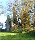 Ballug CastleCastle · 1014 yd
Explorer Tom Ballug Castle started as a bet between two lads in the pub about who could build the weirdest tower, and one of them…
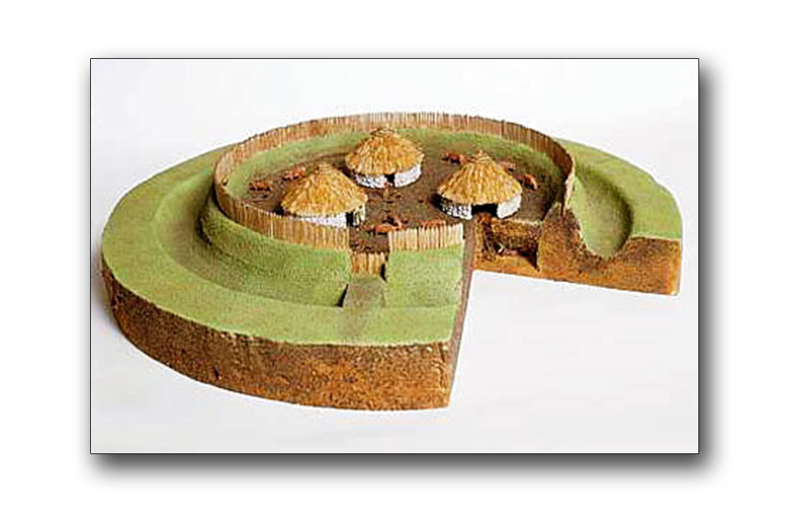 Fairy fort / earthen ringfort in WhitestownFairy fort / earthen ringfort · 1.2 mi
Explorer Tom Fairy fort in Whitestown was nearly sold for a horse once, but the buyer noticed the grass was too expensive. It’s just…
 Earthwork in PetestownEarthwork · 1.2 mi
Explorer Tom The Earthwork in Petestown has strict rules: no shoes, no hats, and absolutely no asking why it’s not visible on the…
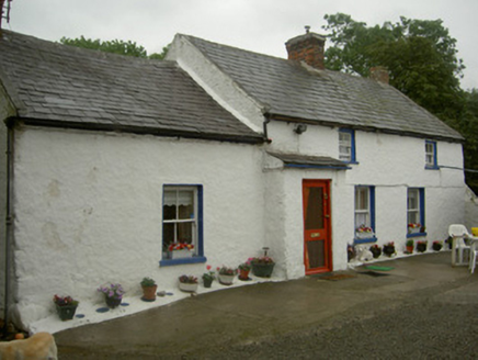 farm house1.2 mi
Explorer Tom Farm house in Petestown is surrounded by farm buildings that are basically its extended family, all arguing about who…
 water pump1.4 mi
Explorer Tom Water pump in Whitestown does weird aerobics when nobody is looking, pumping imaginary water to keep its cast-iron…
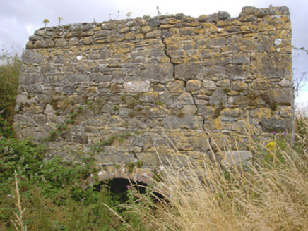 kiln1.5 mi
Explorer Tom Kiln in Whitestown is telling the modern factories to get lost because it’s got a hilltop view and zero regrets. It’s…
 Fr. Mc Evoy Park, Cooley KickhamsGAA ground · 1.7 mi
 The BushPicnic place · 1.8 mi
Explorer Tom The Bush is a picnic place where a priest lost a bet to a farmer over who could throw an apple further into the trees.…
 Mapped cemeteryCemetery · 1.8 mi
Explorer Tom Mapped cemetery in County Louth is occupied by one specific bird that refuses to leave no matter how much you shoo it…
More archaeology and monuments in County Louth · All of County Louth

What do you know about this place?Tap to add a comment or ask a question