What is recorded here
Indicated is a rectangular moated site in County Cavan, Ireland, marked as a fort on 1836 and 1876 maps. Its inner bank, deep fosse and outer ridge still frame a space forty-five by twenty-five metres across, though the east edge has vanished and the north-west ridge has flattened. The northern gap and causeway likely served as the entrance, inviting imagination about who entered, what they guarded and whether the water remained charged or failed under neglect.
Marked 'Fort' on the OS 1836 and 1876 eds. Raised rectangular area (int. dims. 44.9m N-S; 24.9m E-W) enclosed by a well-preserved inner earthen bank, a wide, deep fosse and a low external earthen bank. Outer bank and fosse absent on E side. Outer bank levelled at NNW but its outline is still clearly identifiable. Break in banks with accompanying causeway at N probably represents original entrance.
The above description is derived from the published 'Archaeological Inventory of County Cavan' (Dublin: Stationery Office, 1995). In certain instances the entries have been revised and updated in the light of recent research.
Date of upload/revision: 22 December 2008
The monument record does not grant public access. Check the route and ask the landowner before entering private land.
- What survives
- Recorded monument
Places near here
 IndicatedFairy fort / earthen ringfort · 521 yd
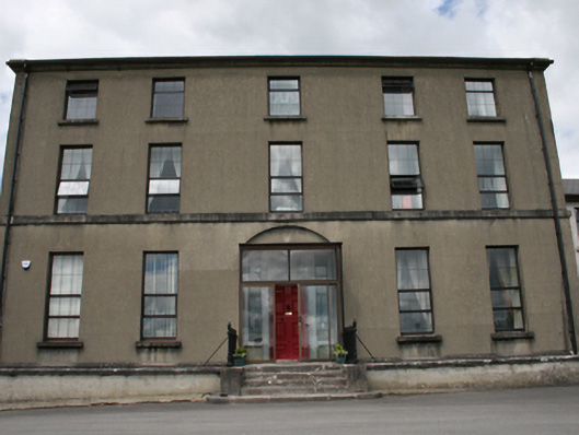 Royal School Cavanschool · 1005 yd
 Enclosure in DrumconnickEnclosure · 1037 yd
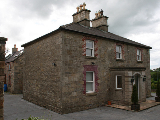 Saint Clare's Cottagehouse · 1137 yd
 CastleCastle, unclassified · 1552 yd
 Owen Roe O'Neill graveMemorial · 1569 yd
 GrottoWood · 1.1 mi
 Bawn in MoynehallBawn · 1.1 mi
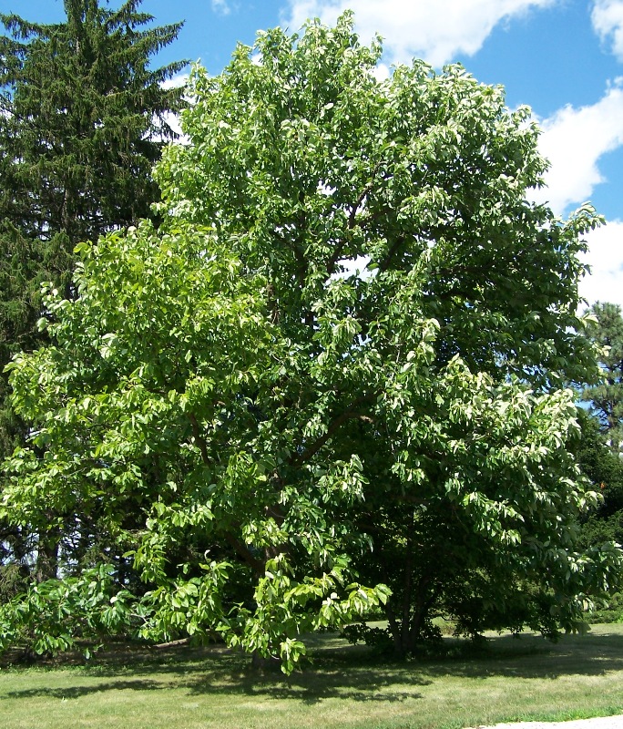 Cucumber MagnoliaCucumber Magnolia · 1.7 mi
 Rambling at Farnham EstateVisitor information · 1.9 mi
 BillisMountain / peak · 2.3 mi
 Carricknagore RockNamed rock · 2.4 mi