What is recorded here
On a marked SE-facing slope on the lower slopes of Lobawn mountain. A roughly quadrangular field (c. 100m x 100m) marked as a circular area on the 1st edition OS 6-inch map and named ‘Site of Cavanagh’s Camp’. The area is heavily forested and is inaccessible.
From the National Monuments Service (Archaeological Survey of Ireland) record WI022-003
The monument record does not grant public access. Check the route and ask the landowner before entering private land.
- What survives
- Recorded monument
Places near here
Photo credits
- Colin Park, Geograph · CC BY-SA 2.0
- Jonathan Billinger, Wikimedia Commons · CC BY-SA 2.0
- National Inventory of Architectural Heritage
- Algirdas at Lithuanian Wikipedia, Wikimedia Commons · Public domain
- Dedublinfan, Wikimedia Commons · CC BY-SA 4.0
- Wanfried-Dublin, Wikimedia Commons · CC BY-SA 4.0
- Maker named on the Wikimedia Commons picture page · Public domain
- Digital Eye, Wikimedia Commons · CC BY-SA 4.0
- Andrewmc, Wikimedia Commons · CC BY 3.0
 LobawnMountain / peak · 1.1 mi
 SugarloafMountain / peak · 1.3 miArtillery MemorialMemorial · 1.7 mi
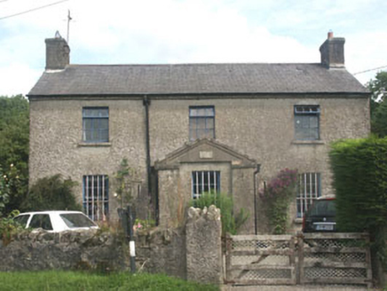 The Old BarracksRic barracks · 2.9 mi
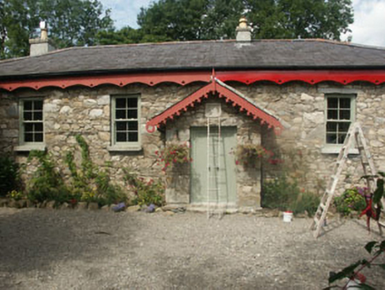 Old School HouseSchool · 2.9 mi
 Pedunculate Oak3.5 mi
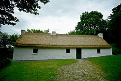 Dwyer McAllister CottageMuseum · 3.7 mi
 Portal tomb in BroomfieldsPortal tomb · 4.3 mi
 English holly4.5 mi
 Druidical CircleStone circle, embanked · 4.8 mi
 Castleruddery MotteArchaeological place · 5.1 mi
 Burial ground in CrehelpBurial ground · 6.1 mi
More archaeology and monuments in County Wicklow · All of County Wicklow
What do you know about this place?