
What is recorded here
Situated on a very gentle SW-facing slope with the entrance facing SW, and incorporated into the field boundary. The tomb consists of a gable-shaped backstone (H 1.9m; Wth 1.8m) and a single upright portal (H 2m; Wth 1.3m), forming a small chamber (dims. c. 1.9m x 1.4m). The other portal and the capstone (L 3.5m; Wth 2.3m; max. T 1.6m) have fallen forward. There is no trace of a cairn. (Walshe 1931, 125-6)
The above description is derived from the published 'Archaeological Inventory of County Wicklow' (Dublin: Stationery Office, 1997). 107/1940).
From the National Monuments Service (Archaeological Survey of Ireland) record WI015-061
This remains an important historical record, but the official description says the monument is no longer visible or has been destroyed. The monument record does not grant public access. Check the route and ask the landowner before entering private land.
- What survives
- No visible remains or recorded as destroyed
Places near here
Photo credits
- National Inventory of Architectural Heritage
- putnik, Wikimedia Commons · CC BY-SA 3.0
- Algirdas at Lithuanian Wikipedia, Wikimedia Commons · Public domain
- Maker named on the Wikimedia Commons picture page · Public domain
- Colin Park, Geograph · CC BY-SA 2.0
- Sarah777 at English Wikipedia, Wikimedia Commons · Public domain
- Wanfried-Dublin, Wikimedia Commons · CC BY-SA 4.0
- Digital Eye, Wikimedia Commons · CC BY-SA 4.0
- Andrewmc, Wikimedia Commons · CC BY 3.0
- Rob Hurson, Wikimedia Commons · CC BY-SA 4.0
- Dedublinfan, Wikimedia Commons · CC BY-SA 4.0
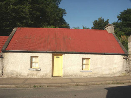 Miller Byrne's CottageHouse · 1074 yd
 Catholic Church of the Holy TrinityChurch/chapel · 1090 ydBall MoatCastle, motte · 1193 yd
 Pedunculate Oak1358 yd
 English holly1.9 mi
 PinnacleMountain / peak · 2.2 mi
 Church MountainMountain / peak · 2.4 mi
 Castleruddery MotteArchaeological place · 2.5 mi
 Druidical CircleStone circle, embanked · 2.6 mi
 Burial ground in CrehelpBurial ground · 3.1 mi
 The Pipers StonesStone circle · 3.1 mi
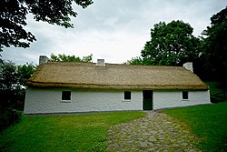 Dwyer McAllister CottageMuseum · 5.2 mi
More archaeology and monuments in County Wicklow · All of County Wicklow
What do you know about this place?