
What is recorded here
National Monument in state ownership No. 441. Situated on a natural rise with gentle slopes to S, W and E and overlooking the River Slaney (250m to the S). The stone circle (diam. 30m) consists of large boulders, originally contiguous, some standing upright and others erected on their long axis. The circle is largely intact at the N but is less well-preserved to the S. It consists of twenty-nine substantial stones and a number of smaller fragments with some loose boulders occurring in the interior which is otherwise featureless. Wedge marks and boreholes in several stones indicate deliberate destruction. The entrance (Wth 1.3m) appears to be between two exceptionally large quartz boulders (L 2.4m and 3m; Wth 1.2m and 1.8m) at the E. Abutting onto the outer face of the circle is an earthen bank (diam. 40m; Wth 4.5m; max. H 1m), the terminals of which encompass the quartz boulders of the entrance. Some boulders along the outer edge of the bank may indicate an outer revetment. To the E of the entrance (at 15.8m) is a single upright stone. A field bank cuts across the outer edge of the bank at the S. The site occurs centrally within a well-defined cropmark enclosure (diam. c. 80m; CUCAP, BDR039) defined by a fosse (Wth c. 4-5m). Between this and the earthen bank is a narrower cropmark defined by a trench or narrow fosse (diam. c. 50m; Wth c. 1m). (Walshe 1931, 131-4; Leask 1945, 266-7; Burl 1993, 106, 240; 1995, 249-50)
The above description is derived from the published 'Archaeological Inventory of County Wicklow' (Dublin: Stationery Office, 1997). Conroy. This monument is subject to a preservation order made under the National Monuments Acts 1930 to 2014 (PO no. 109/1940).
National Monument in state ownership No. 441. Situated on a natural rise with gentle slopes to S, W and E and overlooking the River Slaney (250m to the S). The stone circle (diam. 30m) consists of large boulders, originally contiguous, some standing upright and others erected on their long axis. The circle is largely intact at the N but is less well-preserved to the S. It consists of twenty-nine substantial…
From the National Monuments Service (Archaeological Survey of Ireland) record WI021-032
The monument record does not grant public access. Check the route and ask the landowner before entering private land.
- What survives
- Recorded monument
Places near here
Photo credits
- National Inventory of Architectural Heritage
- Wanfried-Dublin, Wikimedia Commons · CC BY-SA 4.0
- Maker named on the Wikimedia Commons picture page · Public domain
- Algirdas at Lithuanian Wikipedia, Wikimedia Commons · Public domain
- Jonathan Billinger, Wikimedia Commons · CC BY-SA 2.0
- Dedublinfan, Wikimedia Commons · CC BY-SA 4.0
- Sarah777, Wikimedia Commons · Public domain
Enclosure in Castleruddery LowerEnclosure · 306 ydCastleCastle, motte · 444 yd Ballyhubbock BridgeBridge · 573 ydCastleruddery MotteArchaeological place · 597 ydDonaghmore National SchoolSchool · 747 ydEnglish holly1278 ydPortal tomb in BroomfieldsPortal tomb · 2.6 miPedunculate Oak2.6 miSaint Brigit's ChairNamed rock · 2.7 miSugarloafMountain / peak · 3.5 miDwyer McAllister CottageMuseum · 3.6 miKeadeen MountainMountain / peak · 3.6 mi
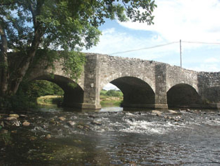 Ballyhubbock BridgeBridge · 573 yd
 Castleruddery MotteArchaeological place · 597 yd
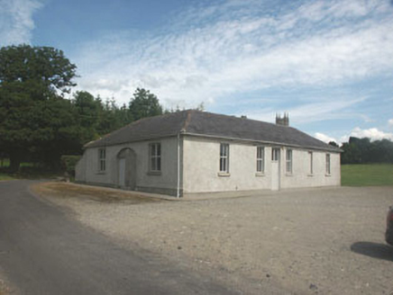 Donaghmore National SchoolSchool · 747 yd
 English holly1278 yd
 Portal tomb in BroomfieldsPortal tomb · 2.6 mi
 Pedunculate Oak2.6 miSaint Brigit's ChairNamed rock · 2.7 mi
 SugarloafMountain / peak · 3.5 mi
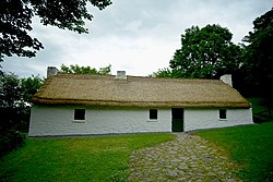 Dwyer McAllister CottageMuseum · 3.6 mi
 Keadeen MountainMountain / peak · 3.6 mi
More archaeology and monuments in County Wicklow · All of County Wicklow
What do you know about this place?