What is recorded here
National Monument in state ownership No. 134. Situated on a marked S-facing slope with a very steep slope dropping to the marshy floor of the Slaney River (100m S), and overlooking the fording point at Ballyhubbock Bridge. Circular steep-sided platform (diam. 41m; H 4.5-5.5m) encircled by a fosse (Wth 3-4m; D 0.2-0.7m). There are two causeways, one of which at the NW (Wth 1m) crosses the fosse at an angle and runs into a narrow ramp which leads up to the motte summit. This may be an original feature. A largely natural, level, roughly rectangular, platform (dims. 25m E-W; 16m N-S) 28m S of the motte on the lip of the 15m drop to the river floor may be an associated feature. The motte is probably associated with the Anglo-Norman borough of Donaghmore c. 500m to the NE (WI021-069002-). 109/1940).
National Monument in state ownership No. 134. Situated on a marked S-facing slope with a very steep slope dropping to the marshy floor of the Slaney River (100m S), and overlooking the fording point at Ballyhubbock Bridge. Circular steep-sided platform (diam. 41m; H 4.5-5.5m) encircled by a fosse (Wth 3-4m; D 0.2-0.7m). There are two causeways, one of which at the NW (Wth 1m) crosses the fosse at an angle and…
From the National Monuments Service (Archaeological Survey of Ireland) record WI021-033
The monument record does not grant public access. Check the route and ask the landowner before entering private land.
- What survives
- Recorded monument
Places near here
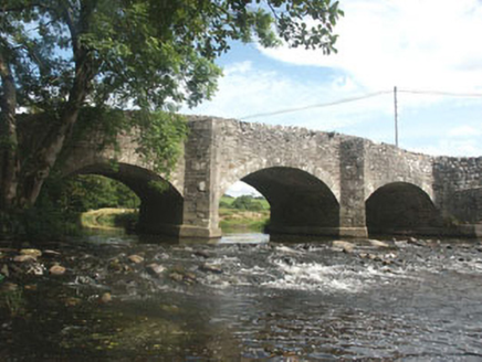 Ballyhubbock BridgeBridge · 152 yd
 Druidical CircleStone circle, embanked · 444 yd
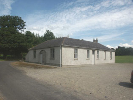 Donaghmore National SchoolSchool · 555 ydSite of CastleCastle, unclassified · 645 yd
 Castleruddery MotteArchaeological place · 1008 yd
 English holly1600 ydSaint Brigit's ChairNamed rock · 2.5 mi
 Pedunculate Oak2.7 mi
 Portal tomb in BroomfieldsPortal tomb · 2.8 mi
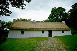 Dwyer McAllister CottageMuseum · 3.4 mi
 Keadeen MountainMountain / peak · 3.4 mi
 SugarloafMountain / peak · 3.5 mi
Pictures: National Inventory of Architectural Heritage; Digital Eye, Wikimedia Commons · CC BY-SA 4.0; Wanfried-Dublin, Wikimedia Commons · CC BY-SA 4.0; Maker named on the Wikimedia Commons picture page · Public domain; Algirdas at Lithuanian Wikipedia, Wikimedia Commons · Public domain; Dedublinfan, Wikimedia Commons · CC BY-SA 4.0; Sarah777, Wikimedia Commons · Public domain; Jonathan Billinger, Wikimedia Commons · CC BY-SA 2.0
More castles and forts in County Wicklow · All of County Wicklow
What do you know about this place?