
What is recorded here
Down Survey mapped a square keep with one extension in Castlesallagh townland, County Wicklow, beside the Slaney River. O'Flanagan wrote that an old castle stood there in 1928, yet nothing shows at ground level now. The castle may have sunk into grass, been broken for stone, or simply vanished from memory.
Situated on level ground overlooking marked N- and E-facing slopes above the Slaney River (100m to the E). Square keep with an extension on one side shown on the Down Survey (1655-6). According to the OS Letters (O'Flanagan 1928, 59) 'an old castle stands in Castlesallagh townland'. Not visible at ground level.
The above description is derived from the published 'Archaeological Inventory of County Wicklow' (Dublin: Stationery Office, 1997). In certain instances the entries have been revised and updated in the light of recent research.
Date of upload/revision: 17 December 2008
Built by the Fitzgeralds, Earls of Kildare, during the late 15th or early 16th century, Castlesallagh was an important stronghold in the control of the Slaney River valley. It is remembered for its strategic position and its depiction in early maps, reflecting the power of the Fitzgerald dynasty in Leinster.
The monument record does not grant public access. Check the route and ask the landowner before entering private land.
- What survives
- Recorded monument
Places near here
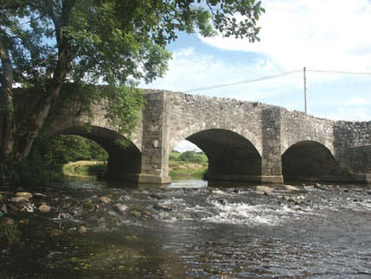 Ballyhubbock Bridgebridge · 538 yd
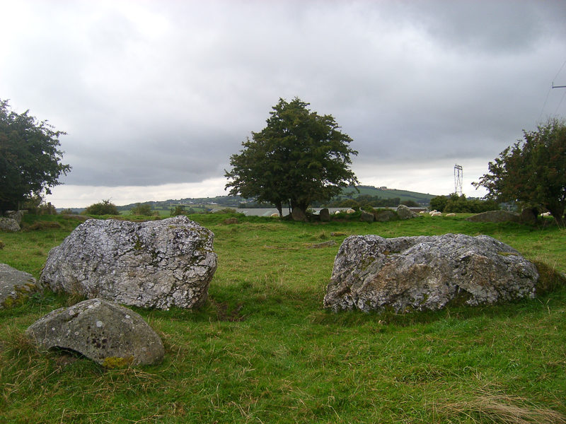 CastleCastle, motte · 645 yd
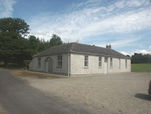 Donaghmore National Schoolschool · 778 yd
 Druidical CircleStone circle, embanked · 1089 yd
 TobernacargyHoly well · 1176 yd
 Bawn in Ballintruer BegBawn · 1532 yd
 English hollyEnglish holly · 1.2 mi
 Saint Brigit's ChairNamed rock · 2.2 mi
 Saint Brigit's Mass StoneNamed rock · 2.3 mi
 Ballyhook HillMountain / peak · 2.6 mi
 Sam McAllistair GraveMemorial · 2.7 mi
 Pedunculate OakPedunculate Oak · 2.9 mi
Other information
Photo: Credit not shown in the picture search · Rights wording not checked; contact us if this picture should be removed