What is recorded here
Rectangular shaped graveyard (map dims c. 60m E-W; c. 40m N-S) bounded by road to N and E with present church which is on site of earlier church (LH015-023001-) in N. A number of eighteenth century graveslabs noted when inspected by ASI in 1966 (SMR file).
Compiled by: Claire Breen
Date of upload: 31 May 2012
A local ancient tomb; wider significance not recorded.
The monument record does not grant public access. Check the route and ask the landowner before entering private land.
- What survives
- Recorded monument
Places near here
 St. Nicholass ChurchChurch · 15 yd
 Ecclesiastical enclosure in StabannanEcclesiastical enclosure · 49 yd
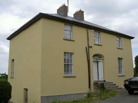 Glebe Houserectory/glebe/vicarage/curate's house · 122 yd
 CastleCastle, unclassified · 148 yd
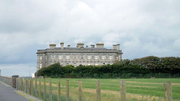 Enclosure in Richardstown (ardee By., Richardstown Par.)Enclosure · 959 yd
 Graveyard in Richardstown (ardee By., Richardstown Par.)Graveyard · 1548 yd
 Monterey CypressMonterey Cypress · 1602 yd
 Rocjardstown CastleCastle, tower house · 1615 yd
 Graveyard in StickillinGraveyard · 2.3 mi
 Rabbit BurrowWood · 2.5 mi
 Drummeenagh HillMountain / peak · 3.4 mi
 Tullydonnell HillMountain / peak · 4.6 mi