
What is recorded here
Monument surveyed by ASI in 1971 and described as following; 'Almost completely demolished. According to the 1914 ed. OS 6-inch map it was rectilinear and a small portion of a steep earth and stone scarp (H 1.8m) survives just inside the modern road side fence on the E side, elsewhere, the scarp has been levelled. The original entrance way is not recognisable. The interior area rises appreciably towards the centre. There are small irregular undualtions on the site which are probably due to the uneven spreading of the material of the enclosure. The site is on the top of a natural rise which is steep on the N, W and S side. The site is overlooked by a higher adjacent ridge on the SE. There are excellent views to the SW and W’ (SMR File 12/07/1971). The enclosure is not depicted as an antiquity on the first ed. OS 6-inch map.
Compiled by: Caimin O'Brien
Date of upload: 15 February 2013
A local fairy fort (ringfort/rath); wider significance not recorded.
The monument record does not grant public access. Check the route and ask the landowner before entering private land.
- What survives
- Recorded monument
Places near here
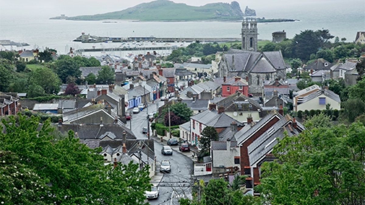 Partially hachuredFairy fort / earthen ringfort · 483 yd
 OutlinedFairy fort / earthen ringfort · 632 yd
 CastleCastle, motte · 1032 yd
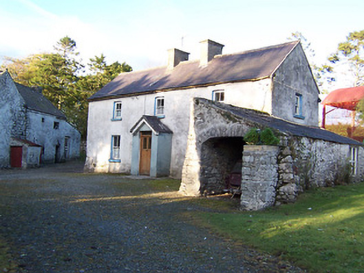 farm housefarm house · 1121 yd
 Rockfield Househouse · 1121 yd
 Killalea FortCastle, motte · 1.3 mi
 Sam's ParkForest · 3.2 mi
 KnockastiaMountain / peak · 4.1 mi
 Japanese pagoda treeJapanese pagoda tree · 4.5 mi
 Kilmalady HillMountain / peak · 4.7 mi
 ToberaskeenSpring · 7.0 mi
 Charles BianconiMemorial · 8.2 mi
Other information
Photo: Credit not shown in the picture search · Rights wording not checked; contact us if this picture should be removed