DDiscover AloneMapAbout

Barrow in Slane More

Barrow, stepped barrow

The monument record does not grant public access. Check the route and ask the landowner before entering private land.

What survives
Recorded monument
What do you know about this place?Tap to add a comment or ask a question

What you write will be public.

What is recorded here

Surveyed in 2012 and described by McGuinness (2012, 38-9) as following: ‘Three roughly circular, flat-topped earthen mounds (WM018-078---; WM018-078001-; WM018-078002-) on elongated, flattish hilltop running NE-SW. Westernmost mound (WM018-078----), on highest part of hilltop, is the largest of the three and…

Read the whole record
Surveyed in 2012 and described by McGuinness (2012, 38-9) as following: ‘Three roughly circular, flat-topped earthen mounds (WM018-078---; WM018-078001-; WM018-078002-) on elongated, flattish hilltop running NE-SW. Westernmost mound (WM018-078----), on highest part of hilltop, is the largest of the three and easternmost mound (WM018-078002-) is by far the smallest The mounds are not positioned on a straight line, centre of Mound B (WM018-078001-) being slightly to N of a line joining centres of Mounds A and C. Mound B is 6m from Mound A and Mound C is 11.5 m from Mound B. The mounds have been severely eroded by cattle in recent times, Mound A and especially Mound B having lost large pieces on the perimeter. This is most striking when they are compared with the photograph published by Shaw in 1921 (Pl. 1). Mound A: Tall, steep-sided, roughly conical mound with flat top (Diam. 15.7m N-S x 17m E-W) on ground sloping down to E and SE, so that its height above surrounding ground varies from 2m on SW side to 2.7m on SE side. Flat top of mound measures 4.1m N-S by 4.6m E-W and slopes down gently from S to N, with a drop of 11cm, and from E-W, with a drop of 16cm. Between one-third and half way up the sides of the mound is a thin ledge (0.5m in width where best preserved at NE) running horizontally around its circumference in contrast with the varying ground level, and reaching a height of 1.16m above ground level where most clearly defined at NE. This ledge also marks a break in slope in the mound's profile, the upper part being slightly steeper. Traces of a shallow ditch, 2.8-3.1m in width are visible on W side of mound; ground naturally dips down on E and SE sides, between Mounds A and B. To N of the mounds, 24m from Mound A, 14.5m from Mound B and 11.5m from Mound C, is a ditch 2.5m wide, immediately outside of which is a bank, 1.8m in width, which rises 0.36m above ditch and 0.95m above ground level to N. This ditch and bank run roughly E-W from a N-S running hedgerow at W end, curving outwardly to N in a gentle arc around the flattish hilltop, but, 70m to E of the hedgerow, ditch is no longer apparent and bank swerves to NE, or rather appears to join onto a second bank which runs in a NE-SW direction. The NE stretch of this bank is 2.5m in width and 0.5m in height and runs for 6.7m to NE from its point of junction with the E-W running bank and ditch before reaching a gap 23m in width, apparently an entranceway, and then continuing for another 24m downhill to NE where it abruptly ends just 1m before joining at a sharp angle onto a N-S running bank and ditch. The SW stretch of this bank is separated from NE stretch by a gap of 2m. It runs for 23m to SW, with two slight but clear kinks, until it joins onto or runs along N side of Mound C and then continues in SW direction for another 19m, before finally kinking to S and running for another 3.5m. The S side of the hilltop is delimited by a roughly E-W-running ditch with hedgerow on its S side, which swerves S to curve around Mound A at a distance of 2.7m. To S of Mound C there is a gap in the ditch that serves as a modern passage between fields, beyond which it runs off in a straight line to E. At E side of gap, a further bank and ditch, again forming a modern field boundary, run downhill to N, almost intersecting with NE stretch of bank described above. Within c. 250m to SW are two further barrows (WM018-079----; WM018-080---) and a third possible prehistoric burial mound (WM018-081---). All six sites form an approximately linear arrangement from NE to SW. Frewin Hill (WM011-133----) is clearly visible to N'. See attached plan of barrow cemetery surveyed and drawn by ASI Compiled by: Caimin O'Brien based on details provided by David McGuinness.

From the National Monuments Service (Archaeological Survey of Ireland) record WM018-078

Places near here

Picture notes
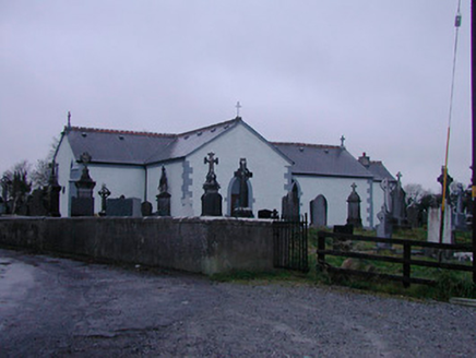
  • National Inventory of Architectural Heritage
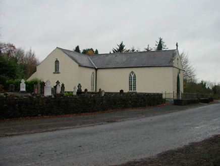
  • Kieran Campbell, Geograph · CC BY-SA 2.0
  • Computer-made picture. It does not show this playground.
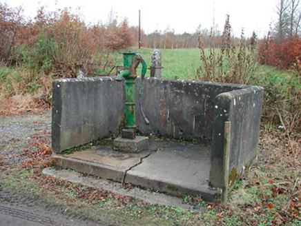
  • Mike Searle, Geograph · CC BY-SA 2.0
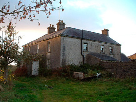
  • Stephan van Helden, Wikimedia Commons · CC BY-SA 4.0
Partially hachuredFairy fort / earthen ringfort · 865 yd

Explorer Tom Fairy fort or earthen ringfort in Ballyboy has caught my eye in Ballyboy, County Westmeath. I bet a fairy fort / earthen ringfort with a name like that could keep me talking all afternoon; I'm already inventing a daft little scene for it, and I'll stop before it turns into history.

Catholic Church of the AssumptionChurch/chapel · 1099 yd

Explorer Tom Catholic Church of the Assumption has caught my eye in Walshestown North, County Westmeath. I bet a church/chapel with a name like that could keep me talking all afternoon; I'm already inventing a daft little scene for it, and I'll stop before it turns into history.

Partially indicatedFairy fort / earthen ringfort · 1637 yd

Explorer Tom Fairy fort or earthen ringfort in Scurlockstown has caught my eye in Scurlockstown, County Westmeath. I bet a fairy fort / earthen ringfort with a name like that could keep me talking all afternoon; I'm already inventing a daft little scene for it, and I'll stop before it turns into history.

Strand HouseHouse · 1.2 mi

Explorer Tom Strand House has caught my eye in Walshestown North, County Westmeath. I bet a house with a name like that could keep me talking all afternoon; I'm already inventing a daft little scene for it, and I'll stop before it turns into history.

IndicatedCastle, motte · 1.4 mi

Explorer Tom Castle in Portloman has caught my eye in Portloman, County Westmeath. I bet a castle, motte with a name like that could keep me talking all afternoon; I'm already inventing a daft little scene for it, and I'll stop before it turns into history.

Carrickphilbin IslandIslet · 1.6 mi

Explorer Tom Carrickphilbin Island has caught my eye in County Westmeath. I bet a islet with a name like that could keep me talking all afternoon; I'm already inventing a daft little scene for it, and I'll stop before it turns into history.

WestmeathVisitor information · 1.7 mi

Explorer Tom Westmeath has caught my eye in County Westmeath. I bet a visitor information with a name like that could keep me talking all afternoon; I'm already inventing a daft little scene for it, and I'll stop before it turns into history.

Srudarra IslandIslet · 2.0 mi

Explorer Tom Srudarra Island has caught my eye in County Westmeath. I bet a islet with a name like that could keep me talking all afternoon; I'm already inventing a daft little scene for it, and I'll stop before it turns into history.

Children's playground3.1 miComputer-made picture. It does not show this playground.

Explorer Tom Children's playground has caught my eye in County Westmeath. I bet a children's playground with a name like that could keep me talking all afternoon; I'm already inventing a daft little scene for it, and I'll stop before it turns into history.

Ancient Ring FortWood · 4.3 mi

Explorer Tom Ancient Ring Fort has caught my eye in County Westmeath. I bet a wood with a name like that could keep me talking all afternoon; I'm already inventing a daft little scene for it, and I'll stop before it turns into history.

Carrick CastleCastle · 4.9 mi

Explorer Tom Carrick Castle has caught my eye in County Westmeath. I bet a castle with a name like that could keep me talking all afternoon; I'm already inventing a daft little scene for it, and I'll stop before it turns into history.

Horse-chestnut5.0 mi

Explorer Tom Horse-chestnut has caught my eye in County Westmeath. I bet a horse-chestnut with a name like that could keep me talking all afternoon; I'm already inventing a daft little scene for it, and I'll stop before it turns into history.

More archaeology and monuments in County Westmeath · All of County Westmeath

Add to this placeAdd a picture Add a detailed tip Add a story

Explore the map1,118,977 places to discover

Next place · or swipePartially hachured