
What is recorded here
Single-arch hump-backed canal bridge previously carrying main road over Royal Canal, built c.1808. Bridge now gives access to a modern bungalow and has been superceded by (adjacent) modern concrete bridge with steel railings. Constructed of coursed dressed limestone with ashlar limestone parapets and detailing, including projecting string course at parapet base level/road level and voussoirs to arch. Western parapet wall damaged and repaired with concrete cavity blocks. Bridge has incised benchmark dating to the original Ordnance Survey work in the 1830s. Tow path runs under bridge to east side. Located to the west of Mullingar Town on main Ballymahon Road.
A typically well-built canal bridge, which is a valuable part of the architectural heritage of Westmeath and the industrial heritage of Ireland. Although humble in form, this structure has a simple and functional elegance. It is robustly built in fine stone masonry, which is testament to the long term ambitions of the Royal Canal Company at the start of the nineteenth century. The use of locally sourced material gives it a distinctive visual appeal and helps to integrate this feature into the local landscape. The incised Ordnance Survey benchmark adds further technical interest to this appealing bridge.
This does not grant access. Most recorded buildings are privately owned; view them only from public ground unless the owner allows entry.
Places near here
 Enclosure in ShanonaghEnclosure · 801 yd
 Cross in Tuitestown (moyashel & Magheradernon By.)Cross · 1066 yd
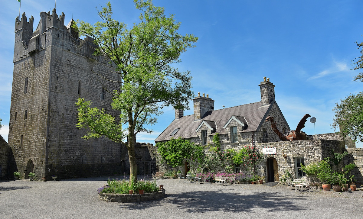 CastleCastle, ringwork · 1168 yd
 Bawn in Tuitestown (moyashel & Magheradernon By.)Bawn · 1175 yd
 church/chapelchurch/chapel · 1257 yd
 RoadRoad, hollow-way · 1418 yd
 WestmeathVisitor information · 1.3 mi
 Ancient Ring FortWood · 2.6 mi
 Carrickphilbin IslandIslet · 3.4 mi
 Srudarra IslandIslet · 3.5 mi
 Hill of UisneachMountain / peak · 5.4 mi
 Sessile OakSessile Oak · 8.8 mi
Other information
Photo: Royalcanalrunner · CC BY-SA 4.0