
What is recorded here
Situated on rising ground 150m E of large hilltop enclosure or possible henge (WM018-134----). The remains of a hollow way or sunken road (L 171m x Wth 20m) flanked on either side by a low earthen bank leading towards the hilltop enclosure at Ballynaclin is clearly visible on Digital Globe aerial photography.
Compiled by: Caimin O'Brien
Date of upload: 12 February 2019
The monument record does not grant public access. Check the route and ask the landowner before entering private land.
- What survives
- Recorded monument
Places near here
 church/chapelchurch/chapel · 741 yd
 Greenpark Housegates/railings/walls · 1142 yd
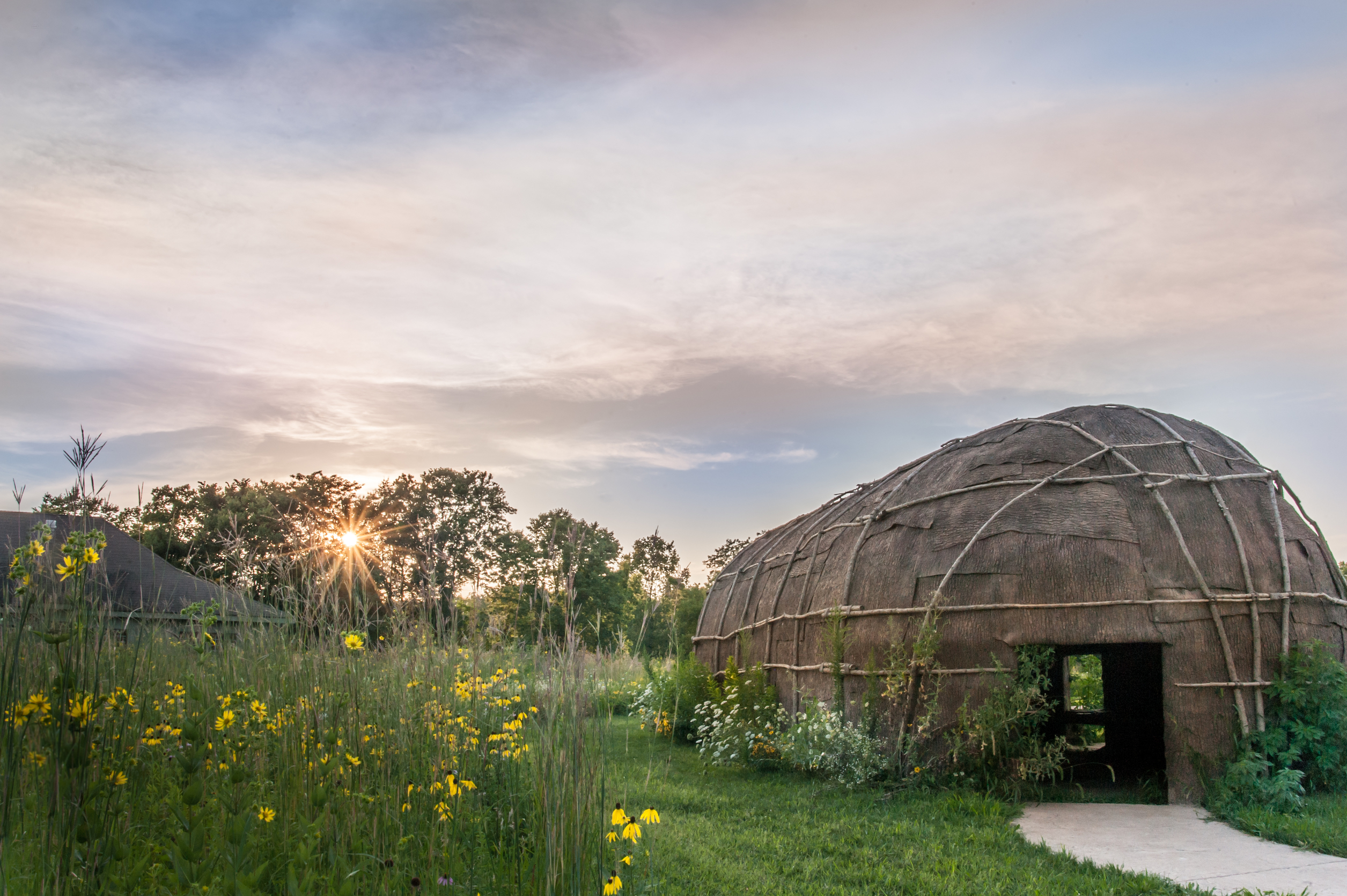 Enclosure in Tuitestown (moyashel & Magheradernon By.)Enclosure · 1169 yd
 Partially hachuredFairy fort / earthen ringfort · 1236 yd
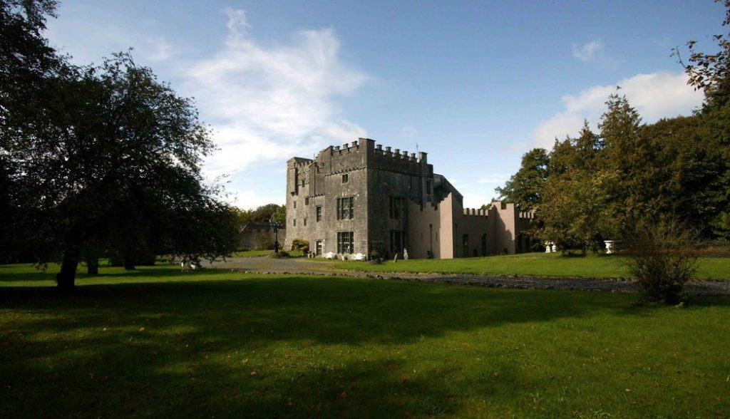 Castle (in Ruins)Castle, tower house · 1302 yd
 OutlinedBawn · 1319 yd
 WestmeathVisitor information · 2.1 mi
 Srudarra IslandIslet · 3.3 mi
 Carrickphilbin IslandIslet · 3.4 mi
 Ancient Ring FortWood · 4.6 mi
 Sessile OakSessile Oak · 9.6 mi
 Abbeyshrule AbbeyRuins · 10 mi
Other information
Photo: Credit not shown in the picture search · Rights wording not checked; contact us if this picture should be removed