
What is recorded here
Situated on a low ridge, in pasture, with extensive views in all directions. Depicted on the 1837 ed. OS 6-inch map as the outline of a large subrectangular-shaped area immediately SW of Hopestown Castle (WM018-140----). Hopestown Church (WM018-139---) 310m to N. Possible bawn consists of a large roughly rectangular shaped area (approx. dims. 76m NW-SE; 55m NE-SW) with castle to NE, defined by an earth and stone bank at NW and SW sides. A scarp defines the SE side, whereas the enclosing element at NE side is no longer visible. Old cultivation ridges run roughly NE-SW across the bawn and traverse the bank at SW. There are similar ridges running NW-SE in the vicinity, to W and S of the bawn. Site of castle and bawn are visible today as an oval-shaped earthwork with L-shaped stretch of bawn wall on Digital Globe aerial photography.
Compiled by: Alison McQueen, Vera Rahilly and Caimin O’Brien
Revised by: Caimin O'Brien
Date of revised upload: 22 February 2019
A local castle; wider significance not recorded.
The monument record does not grant public access. Check the route and ask the landowner before entering private land.
- What survives
- Recorded monument
Places near here
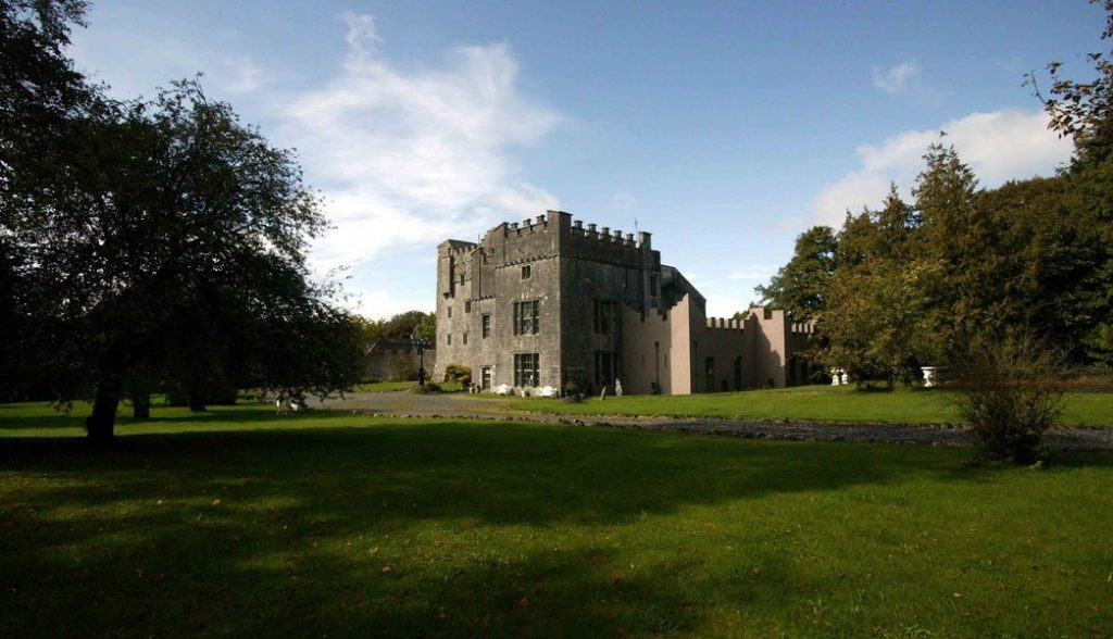 Castle (in Ruins)Castle, tower house · 45 yd
 Hopestown Church (in Ruins)Church · 406 yd
 Partially hachuredFairy fort / earthen ringfort · 594 yd
 gates/railings/wallsgates/railings/walls · 785 yd
 Ecclesiastical enclosure in Kilpatrick (moyashel & Magheradernon By.)Ecclesiastical enclosure · 1467 yd
 Ladestown Ho.House, fortified house · 1.7 mi
 WestmeathVisitor information · 2.8 mi
 Srudarra IslandIslet · 3.3 mi
 Carrickphilbin IslandIslet · 3.5 mi
 ShawbrookForest · 11 mi
 Common AlderCommon Alder · 11 mi
 Kilmalady HillMountain / peak · 12 mi
Other information
Photo: Credit not shown in the picture search · Rights wording not checked; contact us if this picture should be removed