What is recorded here
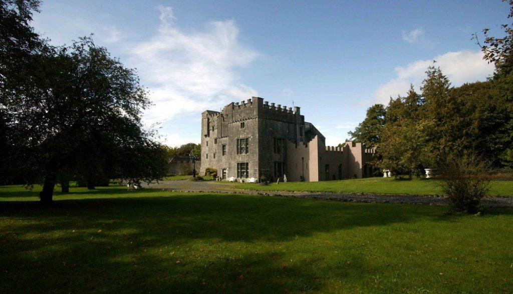
Castle (in Ruins), Hopestown is a small tower house collapsed into a low pasture ridge where the stone bank still marks its shadow. Richard Hope held the land in 1641, and the castle may have watched the surrounding fields for generations before quarrying and time took it apart. The bawn wall still angles out beside the mound, suggesting a closed courtyard where people lived, worked and feared what they could not control.
Situated on a low ridge, in pasture, with extensive views in all directions. Hopestown Church (WM018-139----) located 310m to N. Depicted on the 1837 ed. OS 6-inch map as a rectangular-shaped structure annotated ‘Castle (in ruins)’ with the outline of a large subrectangular-shaped area adjoining to SW which possibly represents the remains of a bawn (WM018-140001-). Depicted on the revised 1913 ed. OS 25-inch map as an oval-shaped earthwork annotated as ‘Castle (site of)’. No castle is depicted in the townland of Hopestown on the 17th century Down Survey map of Mullingar parish (NLI, MS 723-4). In 1641 the lands of Hopestown belonged to Richard Hope who is described as 'Irish papist' (ibid.).
Hopestown castle and bawn consists of a small subrectangular-shaped earth and stone mound (14.7m NE-SW; 10.5m NW-SE) defined by an earth and stone bank which represents the collapsed rubble of Hopestown Castle. The area to E of the castle appears to have been disturbed by post-1700 quarrying. The remains of a bawn (WM018-140001-) adjoin the SW side of the castle. Site of castle and bawn are visible today as an oval-shaped earthwork with L-shaped stretch of bawn wall on Digital Globe aerial photography.
Compiled by: Alison McQueen, Vera Rahilly and Caimin O’Brien
Revised by: Caimin O'Brien
Date of revised upload: 22 February 2019
The monument record does not grant public access. Check the route and ask the landowner before entering private land.
- What survives
- Recorded monument
Places near here
 OutlinedBawn · 45 yd
 Hopestown Church (in Ruins)Church · 364 yd
 Partially hachuredFairy fort / earthen ringfort · 549 yd
 gates/railings/wallsgates/railings/walls · 830 yd
 Ecclesiastical enclosure in Kilpatrick (moyashel & Magheradernon By.)Ecclesiastical enclosure · 1505 yd
 Ladestown Ho.House, fortified house · 1.7 mi
 WestmeathVisitor information · 2.8 mi
 Srudarra IslandIslet · 3.3 mi
 Carrickphilbin IslandIslet · 3.5 mi
 ShawbrookForest · 11 mi
 Common AlderCommon Alder · 11 mi
 Kilmalady HillMountain / peak · 12 mi
Other information
Photo: Credit not shown in the picture search · Rights wording not checked; contact us if this picture should be removed