
What is recorded here
Earthen banked enclosure surrounding church site (WM025-028----) and graveyard (WM025-028001-) possibly represents the remains of an Early Christian ecclesiastical enclosure (Swan 1988, 24).
Situated on a gentle SW-facing slope, which falls toward a small stream. Kilpatrick House lies c. 145m due E. Annotated ‘Kilpatrick graveyard (Disused)’ on the revised 1913 ed. OS 25-inch map and depicted as a rectangular-shaped earthwork. Monument described as a subrectangular-shaped area enclosed by a low earthen bank. The bank rises barely above the interior on the E, S and W sides where it is almost reduced to a scarp. It is well defined on the exterior, except where a modern field fence and drain runs NNW-SSE along the E side. There are three slight humps of unknown significance within the interior which may represent the sod covered remains of a church site (WM025-028----). The original entrance is not recognisable. Where conjoined, the bank which forms the S side of the larger enclosure (WM025-028003-), overlies the N side of the smaller enclosure. There is a slight fosse along the S side of this bank which is within the interior of the small enclosure, suggesting that the larger enclosure was constructed after the smaller one. Monument is visible as a subrectangular-shaped cropmark on Digital Globe aerial photography.
See attached plan and profile of monument surveyed and drawn by the ASI.
Compiled by Alison McQueen, Vera Rahilly and Caimin O’Brien.
Date of upload: 05 September 2019
An earthen banked enclosure surrounding a church site and graveyard in Kilpatrick, likely dating to the Early Christian period, reflects possible monastic or ecclesiastical use. Local tradition and historical references suggest associations with early medieval religious activity, though specific folklore is not well recorded.
The monument record does not grant public access. Check the route and ask the landowner before entering private land.
- What survives
- Recorded monument
Places near here
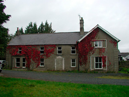 Kilpatrick Househouse · 160 yd
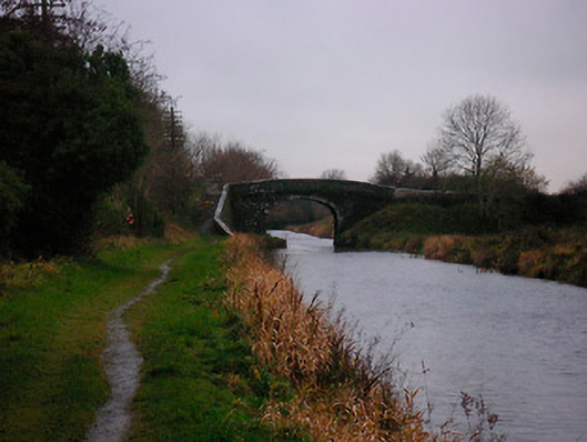 Bellmount Bridgebridge · 787 yd
 OutlinedBawn · 1467 yd
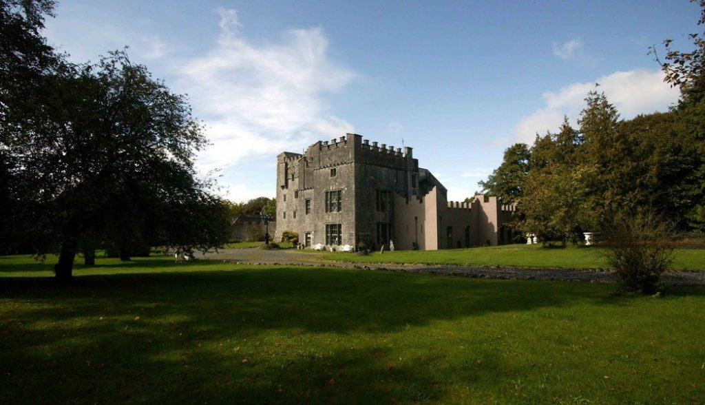 Castle (in Ruins)Castle, tower house · 1505 yd
 Partially hachuredFairy fort / earthen ringfort · 1507 yd
 Ecclesiastical enclosure in LynnEcclesiastical enclosure · 1.6 mi
 Ash IslandIslet · 2.4 mi
 Dysart IslandIsland · 2.7 mi
 WestmeathVisitor information · 3.6 mi
 Ancient Ring FortWood · 3.8 mi
 Lady's IslandWood · 3.9 mi
 Kilmalady HillMountain / peak · 12 mi
Other information
Photo: Credit not shown in the picture search · Rights wording not checked; contact us if this picture should be removed