
What is recorded here
Situated on a gentle rise, in pasture. Depicted on the revised 1913 ed. OS 25-inch map as an oval-shaped earthwork. Monument described in 1980 as a small subcircular-shaped area (dims. 24m NE-SW; 22m NW-SE) enclosed by a low wide earthen bank with shallow external fosse visible from SSE-S-SSW. The perimeter of the monument has been disturbed by digging from W-NW. There is no trace of the original entrance. The ground outside the perimeter to E and W is uneven showing further signs of disturbance. The interior is fairly even, with traces of old cultivation ridges running E-W. Monument was levelled in 1984 and a Preservation Order was placed on its subsurface remains (SMR file). Levelled monument is not visible today on Digital Globe aerial photography.
Compiled by: Alison McQueen, Vera Rahilly and Caimin O’Brien
Date of upload: 04 June 2019
A local fairy fort (ringfort/rath); wider significance not recorded.
This remains an important historical record, but the official description says the monument is no longer visible or has been destroyed. The monument record does not grant public access. Check the route and ask the landowner before entering private land.
- What survives
- No visible remains or recorded as destroyed
Places near here
 Kilpatrick Bridgebridge · 753 yd
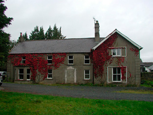 Kilpatrick Househouse · 1417 yd
 Ecclesiastical enclosure in Kilpatrick (moyashel & Magheradernon By.)Ecclesiastical enclosure · 1507 yd
 OutlinedBawn · 1685 yd
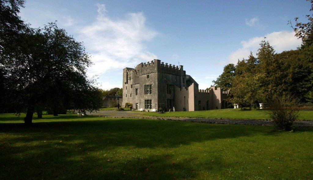 Castle (in Ruins)Castle, tower house · 1687 yd
 Famine MemorialMemorial · 1.8 mi
 Mullingar Cathedral MuseumMuseum · 1.8 mi
 Ecclesiastical enclosure in LynnEcclesiastical enclosure · 1.8 mi
 The Chimera GalleryGallery · 1.8 mi
 United Nations War MemorialMemorial · 2.1 mi
 Lady's IslandWood · 3.0 mi
 Srudarra IslandIslet · 3.1 mi
Other information
Photo: Credit not shown in the picture search · Rights wording not checked; contact us if this picture should be removed