
What is recorded here
Situated on a prominent rise, in otherwise low-lying wet pasture with good views in all directions, particularly to S and NW. Depicted on the 1837 ed. OS 6-inch map as a suboval-shaped earthwork, with a quarried area in the S quadrant and a laneway flanking the perimeter from SSW-W-NNW. Depicted on the revised 1913 ed. OS 25-inch map as a suboval-shaped earthwork with a distinct quarried area in the S quadrant.
Monument described in 1970 as consisting of a partially levelled D-shaped area (approx. 60m NW-SE; 60m NE-SW along straight side) enclosed by a steep earthen bank with slight remains of an outer fosse. The bank is best preserved along the straight side to NNW and is lower with several gaps from NNW-N-E-SSE and from SSW-W-NW. The slight fosse is visible from NE-E-S. A gap (Wth at top 8.3m; basal Wth 2.6m) and a slight causeway (Wth at top 3.3m; overall Wth 7.5m; max. H 0.05m) at SE may represent the entrance. There is a modern bank outside the scarp from SSW-W-N-NE. The perimeter and a large portion of the S quadrant within have been quarried from SSE-S-SSW. The interior has a general E-facing slope and is slightly uneven where there are traces of cultivation ridges running ENE-WSW. Levelled monument described in 1980 as no surface remains visible. The field fences depicted on the revised 1913 ed. OS 25-inch map flanking the perimeter from NE-N-W-SSW and field fences to SW and W, have been removed during land reclamation works in the early 1970s.
The groundworks for a modern house constructed within the interior of the levelled monument in 1985 were monitored by an archaeologist from the ASI. The topsoil (D 0.3-0.4m) removed from the foundation trenches was sterile and no archaeological features were revealed cut into the subsoil. Cropmark of levelled monument visible today as a suboval-shaped area of differential growth on Digital Globe aerial photography, with a modern house and driveway in centre of earthwork. The S quadrant of the ringfort may have bee truncated by the public road running roughly E-W.
Compiled by: Alison McQueen, Vera Rahilly and Caimin O’Brien
Date of upload: 12 February 2019
The monument record does not grant public access. Check the route and ask the landowner before entering private land.
- What survives
- Recorded monument
Places near here
 Hopestown Church (in Ruins)Church · 272 yd
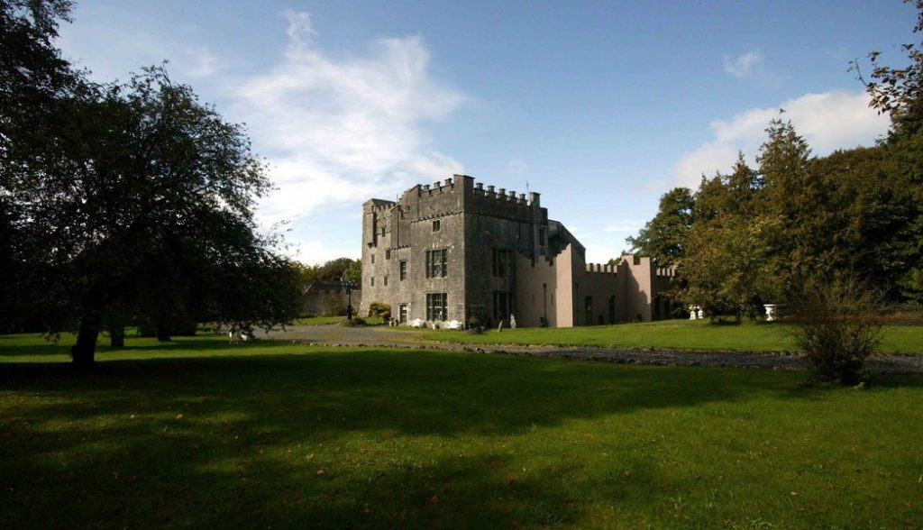 Castle (in Ruins)Castle, tower house · 549 yd
 OutlinedBawn · 594 yd
 RoadRoad, hollow-way · 1191 yd
 Ecclesiastical enclosure in Kilpatrick (moyashel & Magheradernon By.)Ecclesiastical enclosure · 1.1 mi
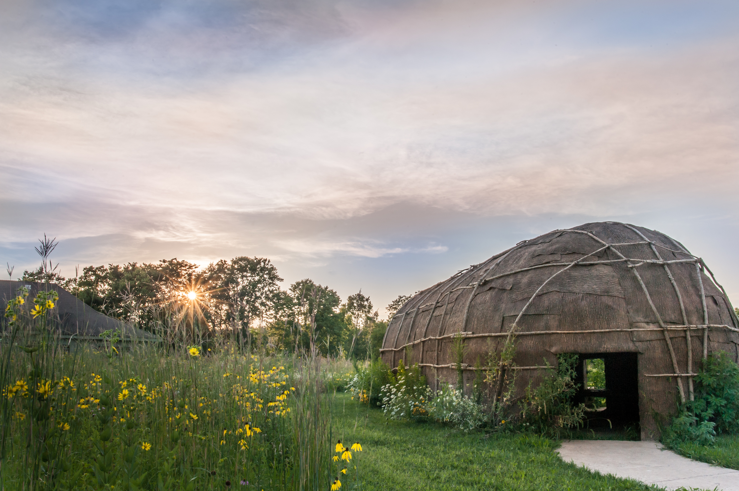 Enclosure in Tuitestown (moyashel & Magheradernon By.)Enclosure · 1.3 mi
 WestmeathVisitor information · 2.6 mi
 Srudarra IslandIslet · 3.0 mi
 Carrickphilbin IslandIslet · 3.2 mi
 Ancient Ring FortWood · 3.6 mi
 Sessile OakSessile Oak · 10 mi
 Derrygreenagh HillMountain / peak · 11 mi
Other information
Photo: Credit not shown in the picture search · Rights wording not checked; contact us if this picture should be removed