
What is recorded here
Detached three-bay two-storey house, built c.1800. Later in use as a post office, c.1900, now in use as private dwelling house. Extension to south. Hipped natural slate roof with overhanging eaves and a rendered chimneystack to the east end. Exposed random rubble limestone construction, originally rendered. Square-headed window openings with cut stone reveals and cut sills to first floor openings with three-over-three pane timber sliding sash windows. Central cut stone block-and-start surround with projecting keystone to ground floor, flanked by full-height rendered block-and-start surrounds, now infilled with matching full height timber casement small pane French doors. Bounded by random rubble limestone wall to the north having a wrought-iron gate. Located to the west of Mullingar.
An interesting and picturesque building, which retains much of its early form, character and form despite recent alterations to the front façade. This appealing and well-proportioned building has a slightly unusual appearance and maybe of considerable antiquity. The small window openings to the first floor, which retain early timber sash windows, are an interesting and distinctive feature which help to give this building a strong character. This building was later in use as a post office serving the Ballinea local area, c.1900. Its close proximity to the road, railway and the Royal Canal reflect the close links shared between the transport infrastructure and the postal network at the time. This building is an interesting structure in the roadscape to the west of Mullingar, adding visual appeal to the local area.
This does not grant access. Most recorded buildings are privately owned; view them only from public ground unless the owner allows entry.
Places near here
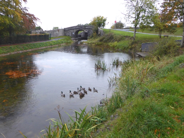 Ballina Bridgebridge · 153 yd
 bridgebridge · 363 yd
 OutlinedBawn · 1182 yd
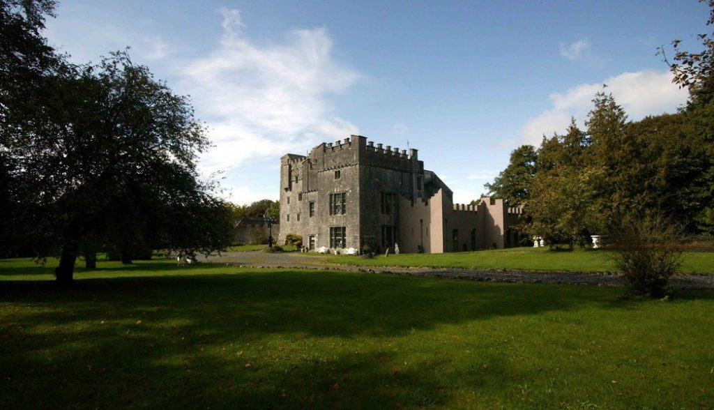 Castle (in Ruins)Castle, tower house · 1216 yd
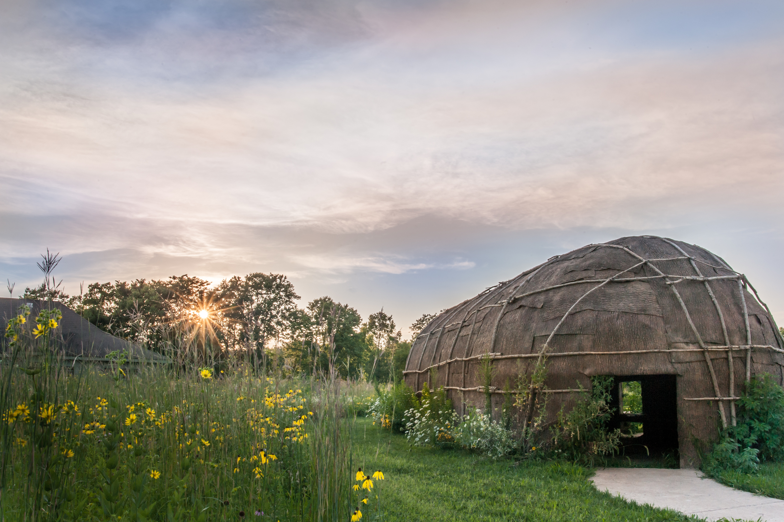 Enclosure in Tuitestown (moyashel & Magheradernon By.)Enclosure · 1544 yd
 Ecclesiastical enclosure in Kilpatrick (moyashel & Magheradernon By.)Ecclesiastical enclosure · 1620 yd
 WestmeathVisitor information · 2.8 mi
 Srudarra IslandIslet · 3.9 mi
 Carrickphilbin IslandIslet · 4.1 mi
 Ancient Ring FortWood · 5.1 mi
 Sessile OakSessile Oak · 10 mi
 Abbeyshrule AbbeyRuins · 11 mi
Other information
Photo: National Inventory of Architectural Heritage · Website use allowed for educational or private purposes with source credit