
What is recorded here
Situated on ESE facing slope of a slight rise, in gently undulating pasture with good views in all directions, particularly to NE and SW. Depicted on the 1837 ed. OS 6-inch map as a subcircular -shaped earthwork (approx. dims. 37.5m NW-SE; 39.5m NE-SW). Depicted as a partially levelled monument on the revised 1913 ed. OS 25-inch map where the arc of a scarp is indicated from SW-W-WNW.
Monument described in 1980 as the partially levelled remains of a subcircular-shaped enclosure defined by a bank, intervening fosse and an outer bank. The enclosing element only survives from S-W-N and has been levelled from N-E-S. The surviving arc (C 37.5m) of the perimeter is defined by a low bank of earth and stone visible from SSW-W-N. A deep intervening fosse and an outer bank are only visible from W-NNW. A modern field fence runs NW-SE across the perimeter where the fosse and outer bank have been removed from S-SW. The interior has an E-facing slope. Old cultivation ridges are visible running NW-SE across the field in the vicinity of the monument. A number of roughly circular and parallel depressions running NE-SW for approx. 40-50m may be associated with old quarrying activities. Monument visible as the arc of a cropmark on Digital Globe aerial photography.
Compiled by: Alison McQueen, Vera Rahilly and Caimin O’Brien
Date of upload: 11 February 2019
The monument record does not grant public access. Check the route and ask the landowner before entering private land.
- What survives
- Recorded monument
Places near here
 church/chapelchurch/chapel · 931 yd
 Hopestown Church (in Ruins)Church · 960 yd
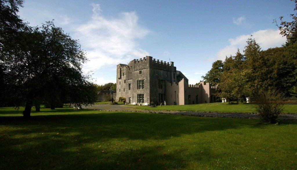 Castle (in Ruins)Castle, tower house · 1240 yd
 OutlinedBawn · 1285 yd
 Enclosure in Walshestown SouthEnclosure · 1.1 mi
 Enclosure in ShanonaghEnclosure · 1.1 mi
 WestmeathVisitor information · 2.3 mi
 Srudarra IslandIslet · 2.7 mi
 Carrickphilbin IslandIslet · 2.8 mi
 Ancient Ring FortWood · 5.0 mi
 Sessile OakSessile Oak · 10.0 mi
 Derrygreenagh HillMountain / peak · 11 mi
Other information
Photo: Credit not shown in the picture search · Rights wording not checked; contact us if this picture should be removed