
What is recorded here
Circular-shaped cropmark (diam. c. 18m) visible on Google Earth orthoimage taken 22/07/2021.
See attached image taken from Google Earth aerial photograph taken 22/07/2021
Compiled by: Caimin O'Brien based on details provided by Jean-Charles Caillère
Date of upload: 9 November 2021
The monument record does not grant public access. Check the route and ask the landowner before entering private land.
- What survives
- Recorded monument
Places near here
 Shanonagh Bridgebridge · 801 yd
 church/chapelchurch/chapel · 1169 yd
 Cross in Tuitestown (moyashel & Magheradernon By.)Cross · 1425 yd
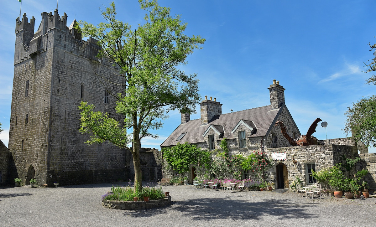 CastleCastle, ringwork · 1613 yd
 Bawn in Tuitestown (moyashel & Magheradernon By.)Bawn · 1.1 mi
 WestmeathVisitor information · 1.2 mi
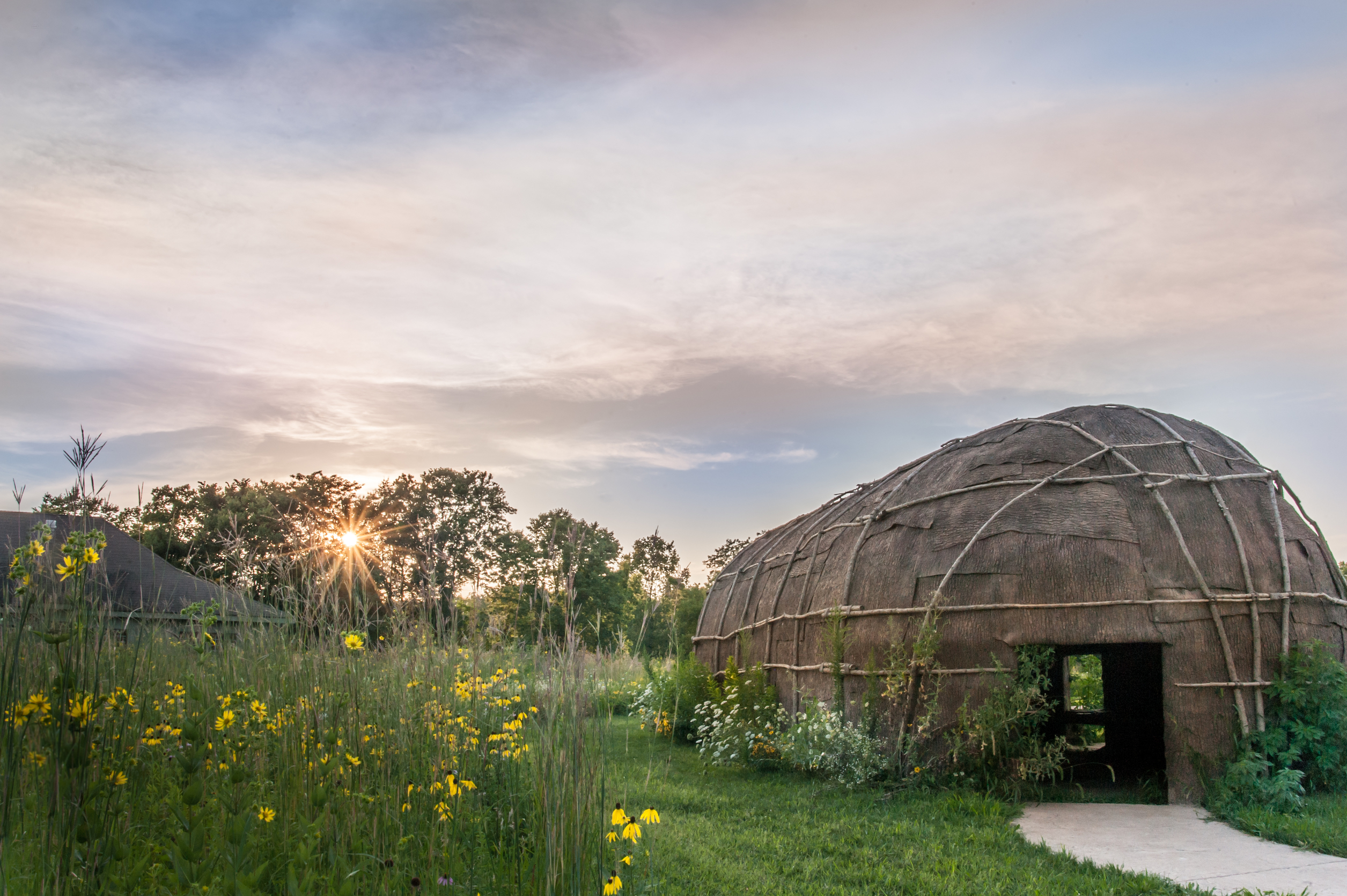 Enclosure in Tuitestown (moyashel & Magheradernon By.)Enclosure · 1.2 mi
 Carrickphilbin IslandIslet · 2.9 mi
 Srudarra IslandIslet · 3.1 mi
 Ancient Ring FortWood · 3.9 mi
 Baronstown ForestWood · 5.8 mi
 Abbeyshrule AbbeyRuins · 9.6 mi
Other information
Photo: Credit not shown in the picture search · Rights wording not checked; contact us if this picture should be removed