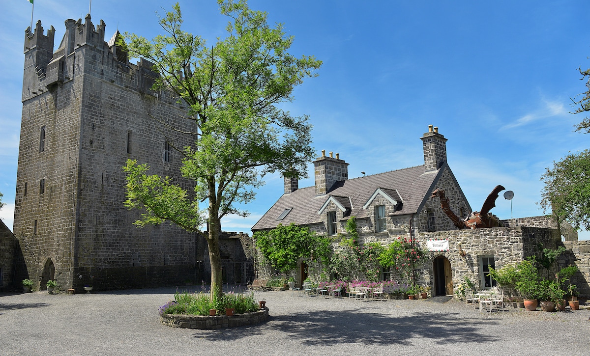
What is recorded here
Castle, ringwork in Tuitestown (moyashel & Magheradernon By.) stands on the SE end of a ridge in County Westmeath, Ireland. Its wide fosse, steep inner bank and shallow central depression still cut through undulating pasture beside Kenny church and Kenny House. The earthwork has watched this landscape since before human memory, perhaps guiding livestock, marking territory or hiding a lost home.
Situated on SE end of a ridge, in undulating pasture, with extensive views in all directions. Kenny church (WM018-115----) and graveyard (WM018-115001-) c. 175m to NE. Kenny House and farmyard c. 25m to E, townland boundary c. 25m to W. Depicted on the 1837 ed. OS 6-inch map as a circular-shaped earthwork. Depicted on the 1913 ed. OS 25-inch map as a circular-shaped earthwork where the perimeter has been incorporated into field boundaries from NE-E-S-SW.
Monument described in 1980 as a large roughly circular mound or platform(dims. 28m NNE-SSW; 27m NW-SE) enclosed by a poorly preserved bank, intervening fosse and an outer bank. The inner bank is high and steep with a number of modern pathways leading up into the interior at various points. The intervening fosse is wide and deep and is visible from NE-E-S-W-N and has been infilled from N-NE. The outer edge of the fosse has been incorporated into modern field fences from NE-E-S-SW and a modern stone facing is built against the outer edge. There is a low, narrow causeway (Wth 1.2m; H 0.5m) across the fosse at SW which may be a later feature. The outer bank only survives from W-WNW. The interior slopes downwards from the perimeter to the centre and quite sharply at the W and NW. There is an irregular depression in the centre. Monument is visible today as a roughly circular-shaped tree-planted earthwork on Digital Globe aerial photography.
Compiled by: Alison McQueen, Vera Rahilly and Caimin O’Brien
Date of upload: 11 February 2019
The monument record does not grant public access. Check the route and ask the landowner before entering private land.
- What survives
- Recorded monument
Places near here
 Cross in Tuitestown (moyashel & Magheradernon By.)Cross · 222 yd
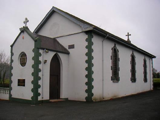 Catholic Church of the Little Flower and Our Lady of Good Counselchurch/chapel · 1052 yd
 Shanonagh Bridgebridge · 1168 yd
 Bawn in Tuitestown (moyashel & Magheradernon By.)Bawn · 1262 yd
 WestmeathVisitor information · 1546 yd
 Enclosure in ShanonaghEnclosure · 1613 yd
 Fieldtown CastleCastle · 1686 yd
 Ancient Ring FortWood · 2.2 mi
 Carrickphilbin IslandIslet · 3.7 mi
 Srudarra IslandIslet · 3.9 mi
 Hill of UisneachMountain / peak · 4.8 mi
 Sessile OakSessile Oak · 8.1 mi
Other information
Photo: Credit not shown in the picture search · Rights wording not checked; contact us if this picture should be removed