
What is recorded here
Bawn in Tuitestown is a castle bawn in County Westmeath, Ireland. Its remains include Tuitestown Castle, a possible bawn wall, another rectangular structure, an uneven enclosure with a deep fosse, a raised NE corner, a causeway entrance at N, and old field banks to W and N. The site sits in low pasture near Tuitestown Lough, where water, soil and time have shaped what is left.
Situated in low-lying pasture, 115m NE of Tuitestown Lough. Depicted on the 1837 ed. OS 6-inch map as a rectangular-shaped building aligned N-S on its long axis standing in a small woodland. Depicted on the revised 1913 ed. OS 25-inch map as the outline of a rectangular-shaped with a short stretch of wall running E-W located 6m to the S of the SE corner of the castle.
Poorly preserved remains of Tuitestown Castle (WM018-136----) described in 1980 as consisting of a long, rectangular-shaped area defined by low sod-covered stone wall footings with evidence of internal dividing walls. A linear mound (approx. dims. 24m E-W; 11.5m N-S) of earth and stone to the immediate SE, represents the remains of a collapsed wall belonging to a possible bawn wall or some internal garden wall feature. The mound is of earth and stone with the corner of a wall constructed of carefully selected limestone laid in regular courses and bonded with mortar. To NW of the castle are the remains of another rectangular-shaped structure defined by low grass-covered wall footings. The remains of other walls and banks can be seen in the immediate vicinity.
These three structures are enclosed within an uneven shaped area defined by sod-covered wall footings and a wide, deep fosse visible to W and N. The NE corner of this enclosure is raised to form a small steep-sided mound. The precise route of the fosse is difficult to follow on the W side because of the presence of a possible field drain at this location. The curvilinear E side of the enclosure is formed by a modern drain or stream running down to Tuitestown Lough to S. There is a causeway entrance at N. There is a complex series of old banks and fosses in the fields to W and N which may be an old field system associated with the castle. The remains of the castle and field system with cultivation ridges and other earthworks are clearly visible on Digital Globe aerial photography.
Compiled by: Alison McQueen, Vera Rahilly and Caimin O’Brien
Date of upload: 12 February 2019
The monument record does not grant public access. Check the route and ask the landowner before entering private land.
- What survives
- Recorded monument
Places near here
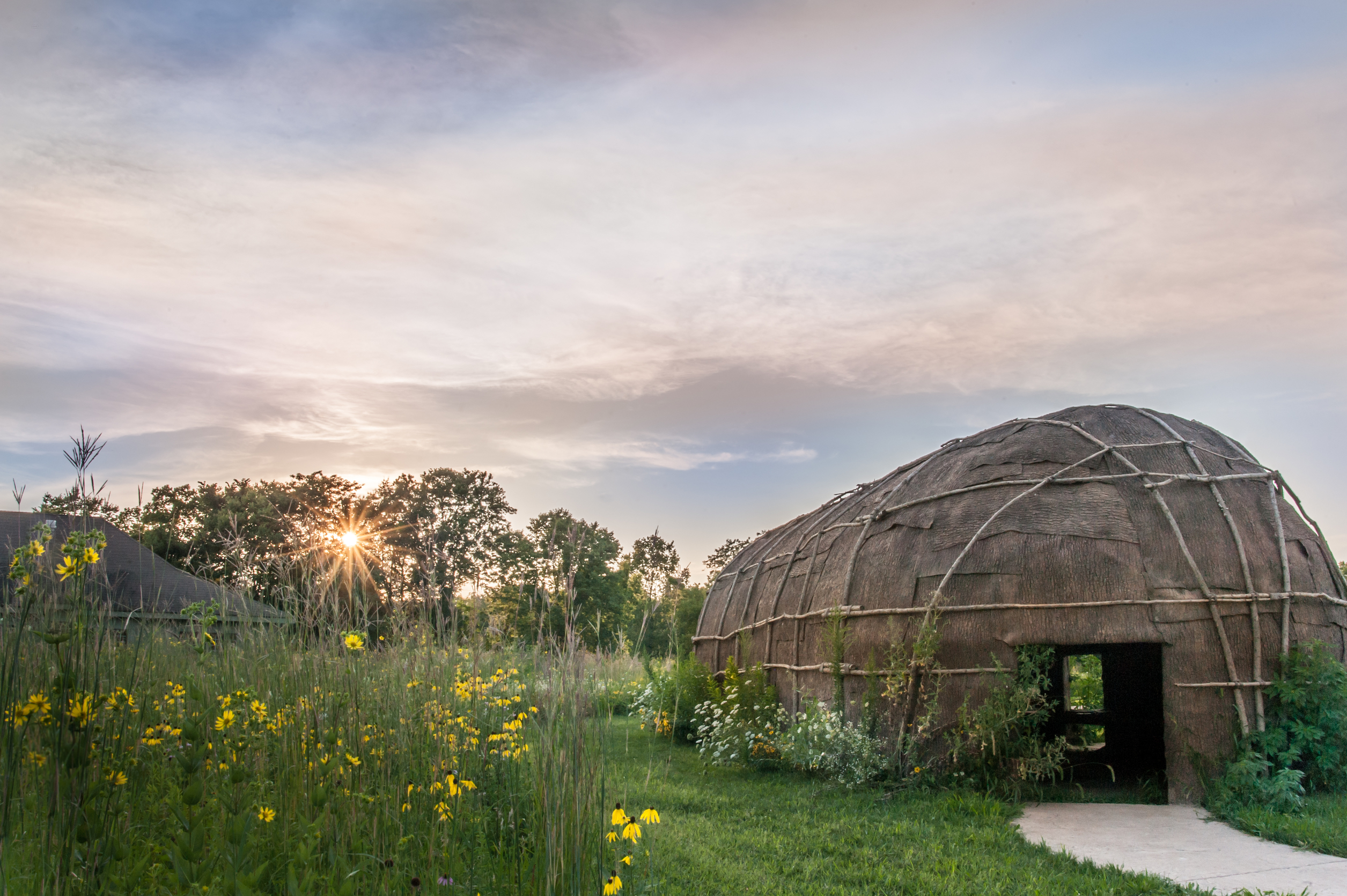 Enclosure in Tuitestown (moyashel & Magheradernon By.)Enclosure · 940 yd
 Shanonagh Bridgebridge · 1175 yd
 Cross in Tuitestown (moyashel & Magheradernon By.)Cross · 1372 yd
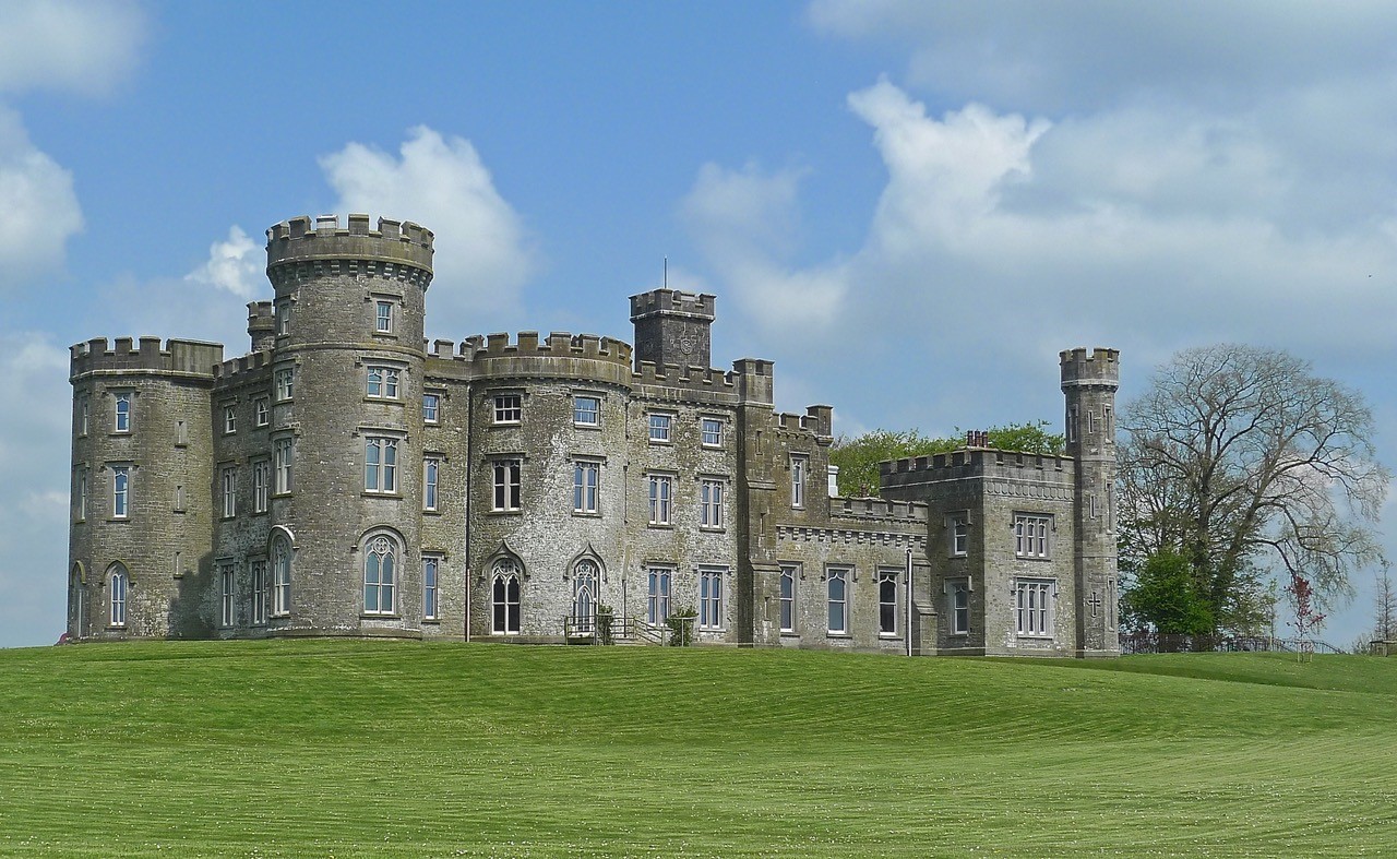 CastleHouse, fortified house · 1537 yd
 Greenpark Housegates/railings/walls · 1538 yd
 Fieldtown CastleCastle · 1.3 mi
 WestmeathVisitor information · 1.6 mi
 Ancient Ring FortWood · 2.0 mi
 Carrickphilbin IslandIslet · 4.0 mi
 Srudarra IslandIslet · 4.1 mi
 Hill of UisneachMountain / peak · 4.9 mi
 Sessile OakSessile Oak · 8.7 mi
Other information
Photo: Credit not shown in the picture search · Rights wording not checked; contact us if this picture should be removed